Transport Functions
Rail
Road
Hub Profile
Place type
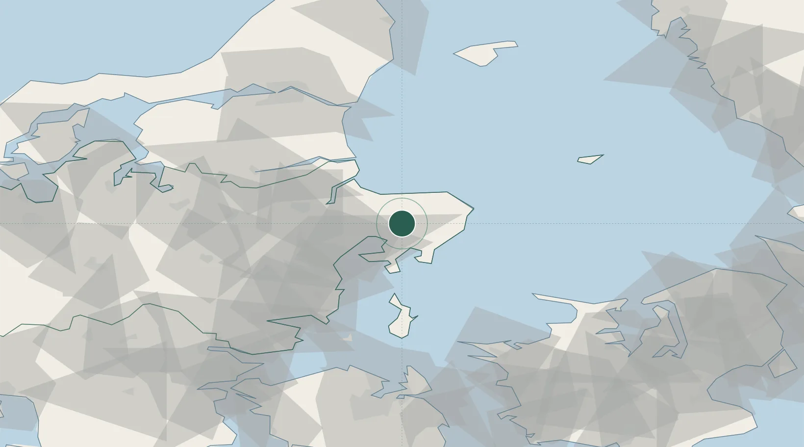
Populated place
Region
Central Jutland
Time zone
Europe/Copenhagen
Elevation
15 m
Location
Nearby Logistics Neighbours
Ports
- 1Studstrup19 km
- 2Grenaa Havn22 km
- 3Arhus33 km
- 4Randers35 km
- 5Hadsund48 km
Airports
- 1Aarhus Airport7 km
- 2Aarhus Seaplane Terminal31 km
- 3Anholt Airfield70 km
- 4Skive Airport89 km
- 5Midtjyllands Airport / Air Base Karup92 km
Trade Zones
- 1Freeport of Copenhagen- Nordhavn145 km
- 2Gothenburg Boundless Customs Warehouse166 km
- 3MTS Malmö Transport and Spedition178 km
- 4Freeport of Kiel228 km
- 5Jönköping Free Zone263 km
DatabookThe Record of Consolidated Knowledge
Denmark beyond logistics?