UN/LOCODE hub · Denmark
DKEGA

Egå

56.2000°, 10.2500°
3
Transport functions

Transport Functions

Rail
Road
Multimodal
UN/LOCODE

Hub Profile

Place type
Populated place
GeoNames
Region
Central Jutland
GeoNames
Time zone
Europe/Copenhagen
GeoNames
Elevation
4 m
GeoNames

Location

Location of DKEGA
Natural Earth 10m (public domain) · Central Jutland · DKEGA · 56.20, 10.25GoogleOSMYandex

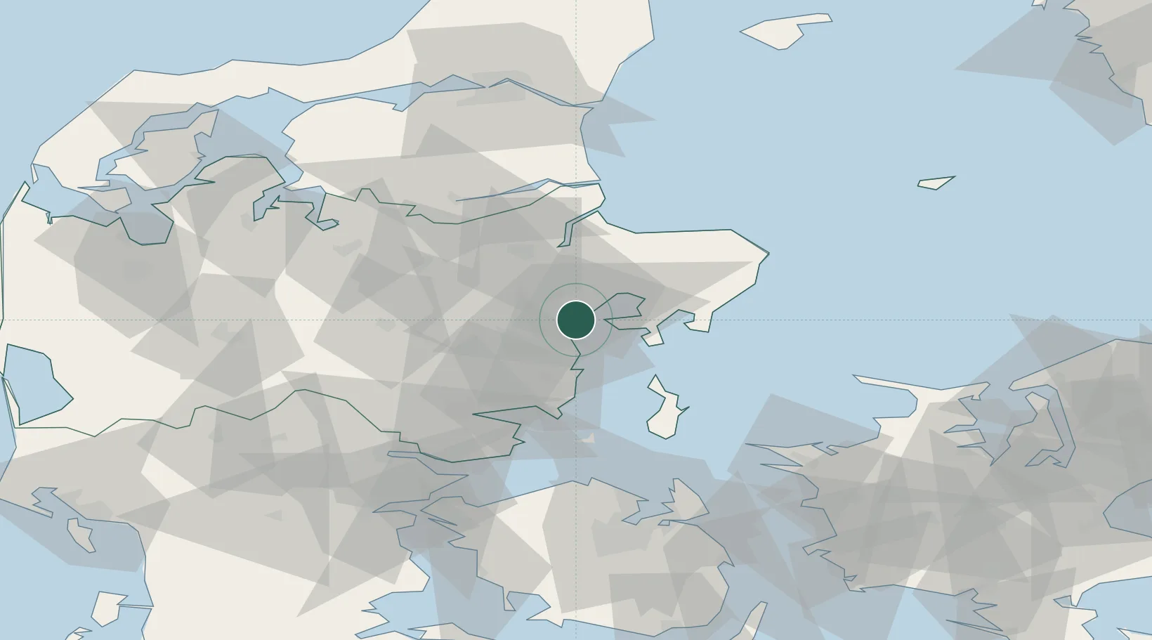
Nearby Logistics Neighbours

Cities
  1. 1Aarhus4 km
  2. 2Åbyhøj/Århus9 km
  3. 3Viby11 km
  4. 4Tranbjerg13 km
  5. 5Stilling21 km
Nearest neighbours — logibook spatial index (haversine) over the source coordinates
Ports
  1. 1Arhus6 km
  2. 2Studstrup8 km
  3. 3Randers32 km
  4. 4Horsens45 km
  5. 5Grenaa Havn49 km
Nearest neighbours — logibook spatial index (haversine) over the source coordinates
Airports
  1. 1Aarhus Seaplane Terminal5 km
  2. 2Aarhus Airport26 km
  3. 3Midtjyllands Airport / Air Base Karup72 km
  4. 4Skive Airport77 km
  5. 5Odense Hans Christian Andersen Airport81 km
Nearest neighbours — logibook spatial index (haversine) over the source coordinates
Trade Zones
  1. 1Freeport of Copenhagen- Nordhavn156 km
  2. 2MTS Malmö Transport and Spedition189 km
  3. 3Gothenburg Boundless Customs Warehouse192 km
  4. 4Freeport of Kiel208 km
  5. 5Freeport of Cuxhaven (Freihafen Cuxhaven)285 km
Nearest neighbours — logibook spatial index (haversine) over the source coordinates
DatabookThe Record of Consolidated Knowledge
Denmark beyond logistics?
Browse databook

All Sources

LocationsUN/LOCODE
UN/LOCODE — free
Portsthe NGA World Port Index
Public domain (US gov)
AirportsOurAirports
Public domain
Trade Zonesthe World Bank SEZ database
CC BY 4.0
Trade ZonesOpen Zone Map
CC BY
← Denmark locations