Transport Functions
Multimodal
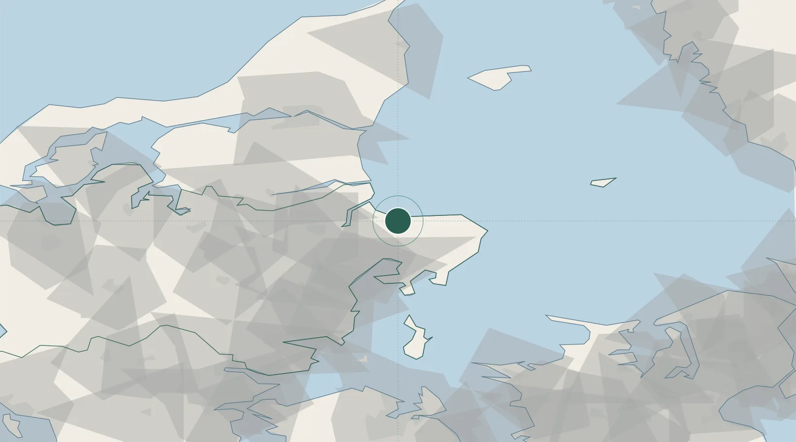
Hub Profile
Place type
Populated place
Region
Central Jutland
Population
10,273
Time zone
Europe/Copenhagen
Elevation
35 m
Location
Nearby Logistics Neighbours
Ports
- 1Randers27 km
- 2Studstrup29 km
- 3Grenaa Havn29 km
- 4Hadsund33 km
- 5Mariager35 km
Airports
- 1Aarhus Airport23 km
- 2Aarhus Seaplane Terminal41 km
- 3Anholt Airfield69 km
- 4Aalborg Airport77 km
- 5Skive Airport81 km
Trade Zones
- 1Gothenburg Boundless Customs Warehouse156 km
- 2Freeport of Copenhagen- Nordhavn158 km
- 3MTS Malmö Transport and Spedition190 km
- 4Freeport of Kiel242 km
- 5Jönköping Free Zone259 km
DatabookThe Record of Consolidated Knowledge
Denmark beyond logistics?