Seaport · Denmark
ArhusDKAAR
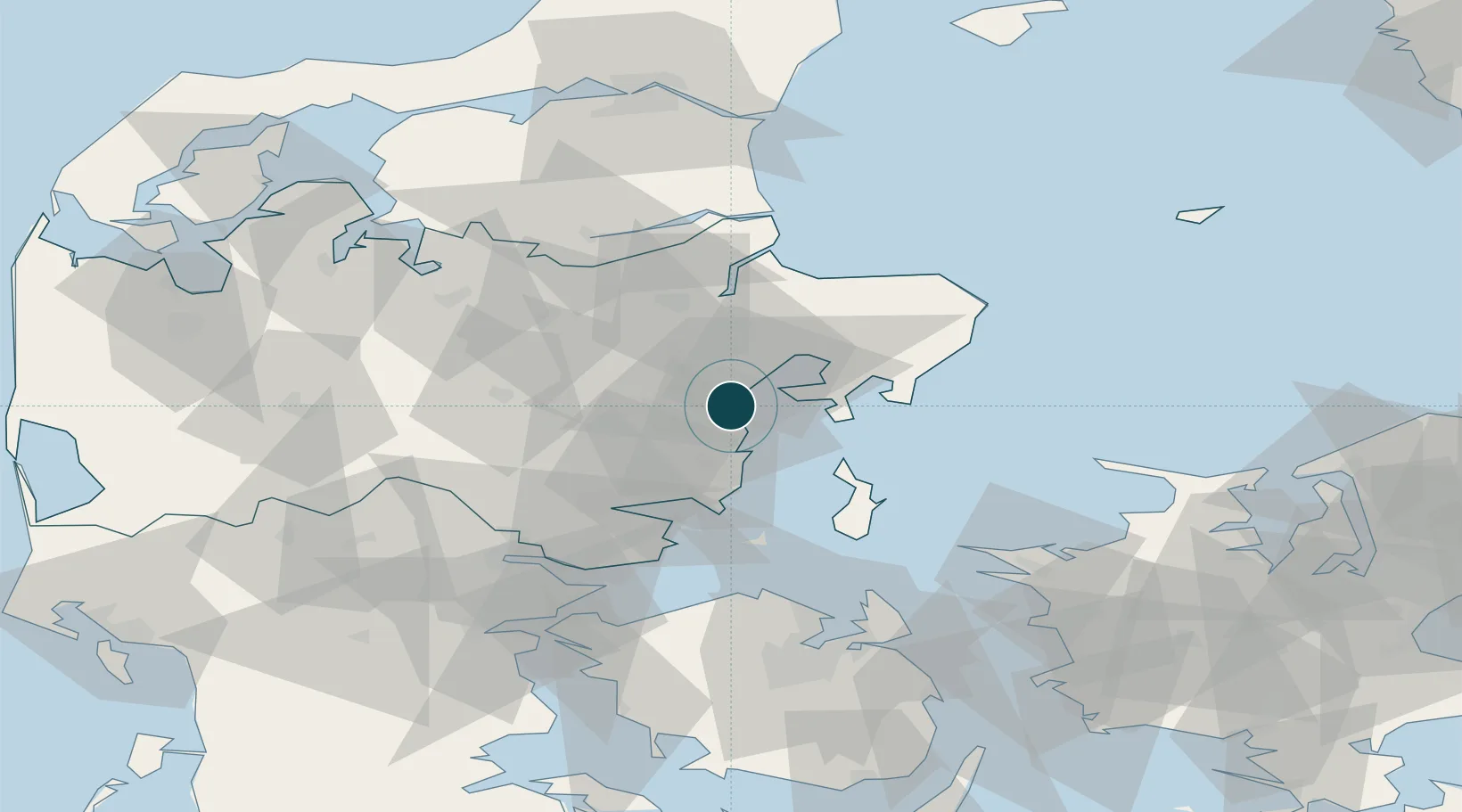
56.1500°, 10.2167°
11.0 m
Channel depth
1
Container terminals
181.0
Port liner connectivity
Channel & Berth Profile
Pilotage, Tugs & Services
Pilotage compulsoryYES
Pilotage availableYES
Pilotage advisableYES
Tug assistanceYES
Shore powerYES
Potable waterYES
Diesel bunkersYES
MedicalYES
Garbage disposalYES
Facilities & Capabilities
ContainerYES
Ro-RoYES
Liquid bulkYES
Dry bulkYES
Oil terminalNO
Break bulkYES
Dry dockNO
RepairsNO
BunkeringYES
Rail linkYES
Dangerous cargo—
ISPS security—
Harbour Specifications
Harbour size
Medium
Harbour type
Coastal (Breakwater)
Shelter
Good
Water body
Kattegat; North Atlantic Ocean
Overhead limit
Yes
Pilotage
Yes
Liner Connectivity
181
PLSCI
Port Liner Shipping Connectivity Index for Arhus, as published by UNCTAD for the latest available quarter. Higher values indicate stronger scheduled liner-shipping integration.
Shown relative to the highest per-port PLSCI in the dataset (1,657.9).
Location
Container Terminals · 1
APM TERMINALS AARHUS
APMT APM TERMINALS
Nearby Logistics Neighbours
Ports
- 1Studstrup14 km
- 2Randers37 km
- 3Horsens39 km
- 4Grenaa Havn53 km
- 5Mariager57 km
Cities
- 1Åbyhøj/Århus4 km
- 2Viby6 km
- 3Egå6 km
- 4Tranbjerg7 km
- 5Stilling16 km
Airports
Trade Zones
DatabookThe Record of Consolidated Knowledge
Denmark beyond logistics?