Transport Functions
Multimodal
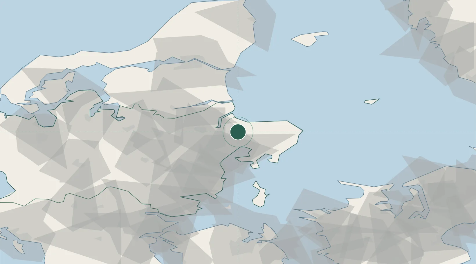
Hub Profile
Place type
Populated place
Region
Central Jutland
Population
3,061
Time zone
Europe/Copenhagen
Elevation
11 m
Location
Nearby Logistics Neighbours
Ports
- 1Studstrup21 km
- 2Randers21 km
- 3Arhus33 km
- 4Grenaa Havn34 km
- 5Mariager34 km
Airports
- 1Aarhus Airport21 km
- 2Aarhus Seaplane Terminal32 km
- 3Skive Airport75 km
- 4Anholt Airfield78 km
- 5Midtjyllands Airport / Air Base Karup80 km
Trade Zones
- 1Freeport of Copenhagen- Nordhavn159 km
- 2Gothenburg Boundless Customs Warehouse166 km
- 3MTS Malmö Transport and Spedition192 km
- 4Freeport of Kiel234 km
- 5Jönköping Free Zone269 km
DatabookThe Record of Consolidated Knowledge
Denmark beyond logistics?