UN/LOCODE hub · Germany
DECAR

Carolinensiel

53.7000°, 7.8000°
1,000
Population
3
Transport functions

Transport Functions

Port
Rail
Road
UN/LOCODE

Hub Profile

Place type
Populated place
GeoNames
Region
Lower Saxony
GeoNames
Population
1,000
GeoNames
Time zone
Europe/Berlin
GeoNames
Elevation
3 m
GeoNames

Location

Location of DECAR
Natural Earth 10m (public domain) · Lower Saxony · DECAR · 53.70, 7.80GoogleOSMYandex

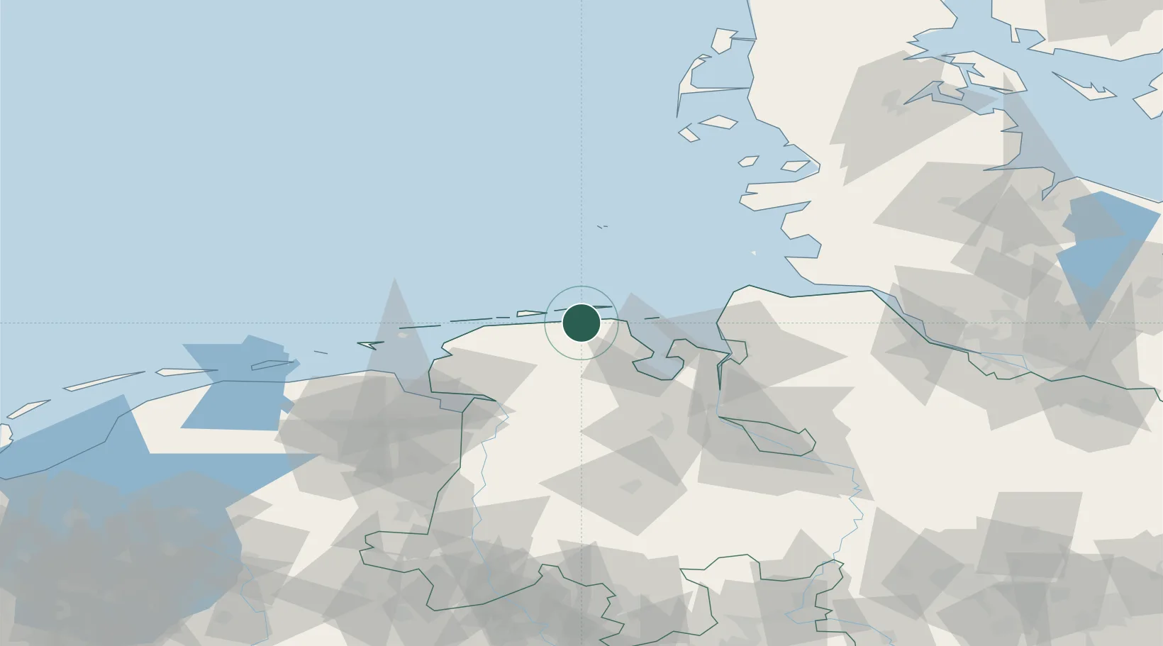
Nearby Logistics Neighbours

Cities
  1. 1Harlesiel0 km
  2. 2Neuharlingersiel7 km
  3. 3Spiekeroog10 km
  4. 4Minsen11 km
  5. 5Wangerooge13 km
Nearest neighbours — logibook spatial index (haversine) over the source coordinates
Ports
  1. 1Wilhelmshaven31 km
  2. 2Nordenham51 km
  3. 3Helgoland53 km
  4. 4Bremerhaven55 km
  5. 5Leer57 km
Nearest neighbours — logibook spatial index (haversine) over the source coordinates
Airports
  1. 1Harlesiel Airfield2 km
  2. 2Wangerooge Airport12 km
  3. 3Wittmundhafen Air Base19 km
  4. 4Baltrum Airport28 km
  5. 5Norderney Airport38 km
Nearest neighbours — logibook spatial index (haversine) over the source coordinates
Trade Zones
  1. 1Freeport of Cuxhaven (Freihafen Cuxhaven)52 km
  2. 2Freeport of Emden57 km
  3. 3Freeport of Bremerhaven (Freihafen Bremerhaven)94 km
  4. 4Freeport of Kiel170 km
  5. 5Freeport of Duisburg264 km
Nearest neighbours — logibook spatial index (haversine) over the source coordinates
DatabookThe Record of Consolidated Knowledge
Germany beyond logistics?
Browse databook

All Sources

LocationsUN/LOCODE
UN/LOCODE — free
LocationsGeoNames
CC BY 4.0
Portsthe NGA World Port Index
Public domain (US gov)
AirportsOurAirports
Public domain
Trade Zonesthe World Bank SEZ database
CC BY 4.0
Trade ZonesOpen Zone Map
CC BY
← Germany locations