UN/LOCODE hub · Germany
DESPI

Spiekeroog

53.7667°, 7.7000°
815
Population
2
Transport functions

Transport Functions

Port
Road
UN/LOCODE

Hub Profile

Place type
Local administrative seat
GeoNames
Region
Lower Saxony
GeoNames
Population
815
GeoNames
Time zone
Europe/Berlin
GeoNames
Elevation
6 m
GeoNames

Location

Location of DESPI
Natural Earth 10m (public domain) · Lower Saxony · DESPI · 53.77, 7.70GoogleOSMYandex

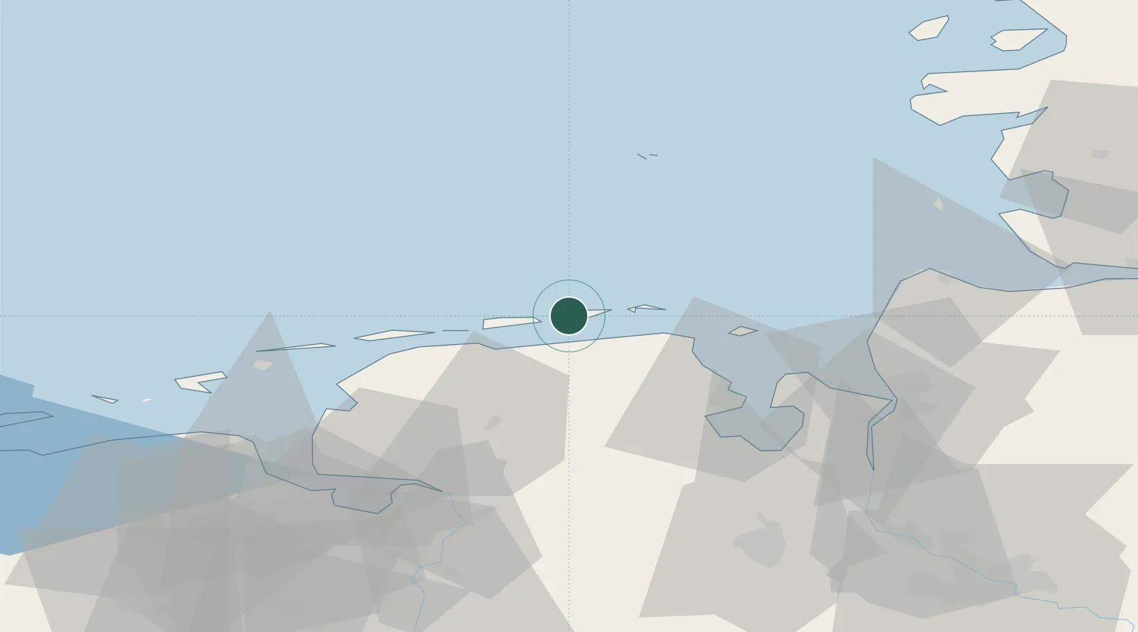
Nearby Logistics Neighbours

Cities
  1. 1Neuharlingersiel7 km
  2. 2Carolinensiel10 km
  3. 3Harlesiel10 km
  4. 4Bensersiel12 km
  5. 5Wangerooge14 km
Nearest neighbours — logibook spatial index (haversine) over the source coordinates
Ports
  1. 1Wilhelmshaven40 km
  2. 2Helgoland47 km
  3. 3Emden59 km
  4. 4Nordenham61 km
  5. 5Leer62 km
Nearest neighbours — logibook spatial index (haversine) over the source coordinates
Airports
  1. 1Harlesiel Airfield10 km
  2. 2Wangerooge Airport15 km
  3. 3Baltrum Airport22 km
  4. 4Wittmundhafen Air Base24 km
  5. 5Norderney Airport32 km
Nearest neighbours — logibook spatial index (haversine) over the source coordinates
Trade Zones
  1. 1Freeport of Cuxhaven (Freihafen Cuxhaven)57 km
  2. 2Freeport of Emden59 km
  3. 3Freeport of Bremerhaven (Freihafen Bremerhaven)103 km
  4. 4Freeport of Kiel173 km
  5. 5Freeport of Duisburg269 km
Nearest neighbours — logibook spatial index (haversine) over the source coordinates
DatabookThe Record of Consolidated Knowledge
Germany beyond logistics?
Browse databook

All Sources

LocationsUN/LOCODE
UN/LOCODE — free
LocationsGeoNames
CC BY 4.0
Portsthe NGA World Port Index
Public domain (US gov)
AirportsOurAirports
Public domain
Trade Zonesthe World Bank SEZ database
CC BY 4.0
Trade ZonesOpen Zone Map
CC BY
← Germany locations