Transport Functions
Port
Road
Airport
Hub Profile
Region
NI
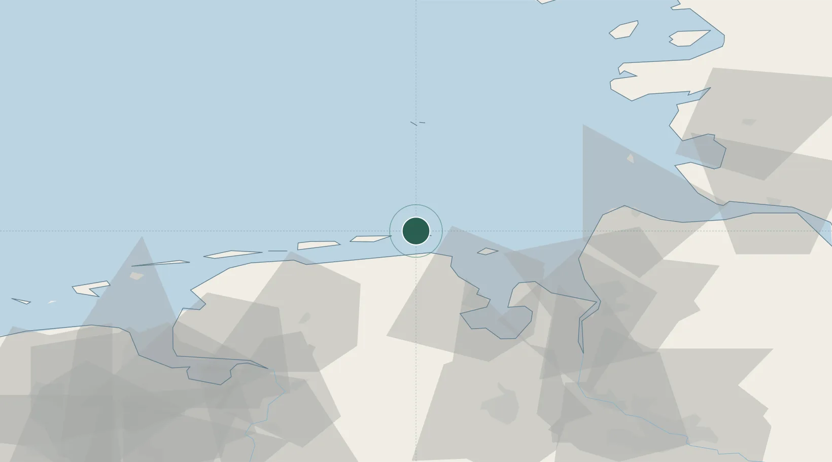
Location
Nearby Logistics Neighbours
Cities
- 1Minsen12 km
- 2Carolinensiel13 km
- 3Harlesiel13 km
- 4Spiekeroog14 km
- 5Horumersiel15 km
Ports
- 1Wilhelmshaven35 km
- 2Helgoland41 km
- 3Nordenham52 km
- 4Bremerhaven54 km
- 5Cuxhaven54 km
Airports
- 1Wangerooge Airport2 km
- 2Harlesiel Airfield12 km
- 3Wittmundhafen Air Base32 km
- 4Baltrum Airport36 km
- 5Helgoland-Düne Airport43 km
Trade Zones
DatabookThe Record of Consolidated Knowledge
Germany beyond logistics?