UN/LOCODE hub · Germany
DEHGL

Helgoland

54.1667°, 7.8833°
1,333
Population
2
Transport functions

Transport Functions

Port
Airport
Helgoland is also a profiled seaport →
UN/LOCODE

Hub Profile

Place type
Local administrative seat
GeoNames
Region
Schleswig-Holstein
GeoNames
Population
1,333
GeoNames
Time zone
Europe/Berlin
GeoNames
Elevation
37 m
GeoNames

Location

Location of DEHGL
Natural Earth 10m (public domain) · Schleswig-Holstein · DEHGL · 54.17, 7.88GoogleOSMYandex

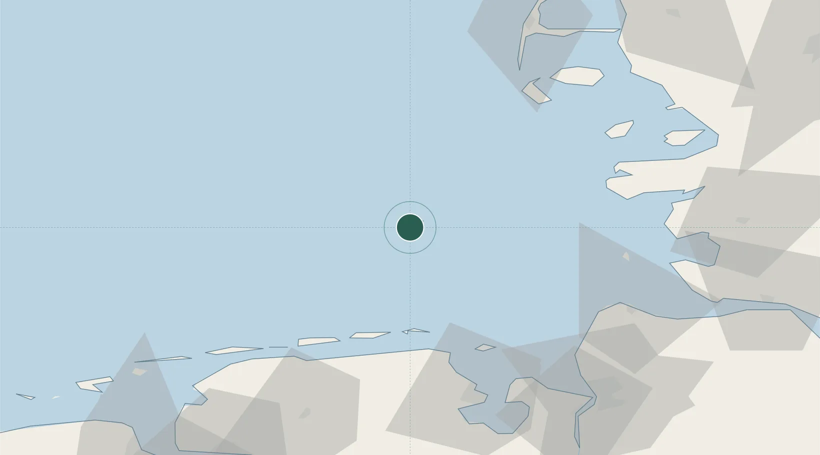
Nearby Logistics Neighbours

Cities
  1. 1Wangerooge41 km
  2. 2Spiekeroog46 km
  3. 3Carolinensiel52 km
  4. 4Harlesiel52 km
  5. 5Minsen52 km
Nearest neighbours — logibook spatial index (haversine) over the source coordinates
Ports
  1. 1Cuxhaven64 km
  2. 2Busum64 km
  3. 3Wilhelmshaven73 km
  4. 4Husum83 km
  5. 5Bremerhaven84 km
Nearest neighbours — logibook spatial index (haversine) over the source coordinates
Airports
  1. 1Helgoland-Düne Airport3 km
  2. 2Wangerooge Airport43 km
  3. 3Harlesiel Airfield51 km
  4. 4Baltrum Airport59 km
  5. 5Heide-Büsum Airport66 km
Nearest neighbours — logibook spatial index (haversine) over the source coordinates
Trade Zones
  1. 1Freeport of Cuxhaven (Freihafen Cuxhaven)59 km
  2. 2Freeport of Emden103 km
  3. 3Freeport of Bremerhaven (Freihafen Bremerhaven)133 km
  4. 4Freeport of Kiel150 km
  5. 5Freeport of Duisburg315 km
Nearest neighbours — logibook spatial index (haversine) over the source coordinates
DatabookThe Record of Consolidated Knowledge
Germany beyond logistics?
Browse databook

All Sources

LocationsUN/LOCODE
UN/LOCODE — free
LocationsGeoNames
CC BY 4.0
Portsthe NGA World Port Index
Public domain (US gov)
AirportsOurAirports
Public domain
Trade Zonesthe World Bank SEZ database
CC BY 4.0
Trade ZonesOpen Zone Map
CC BY
← Germany locations