Transport Functions
Port
Road
Hub Profile
Place type
Local administrative seat
Region
Schleswig-Holstein
Population
1,502
Time zone
Europe/Berlin
Elevation
29 m
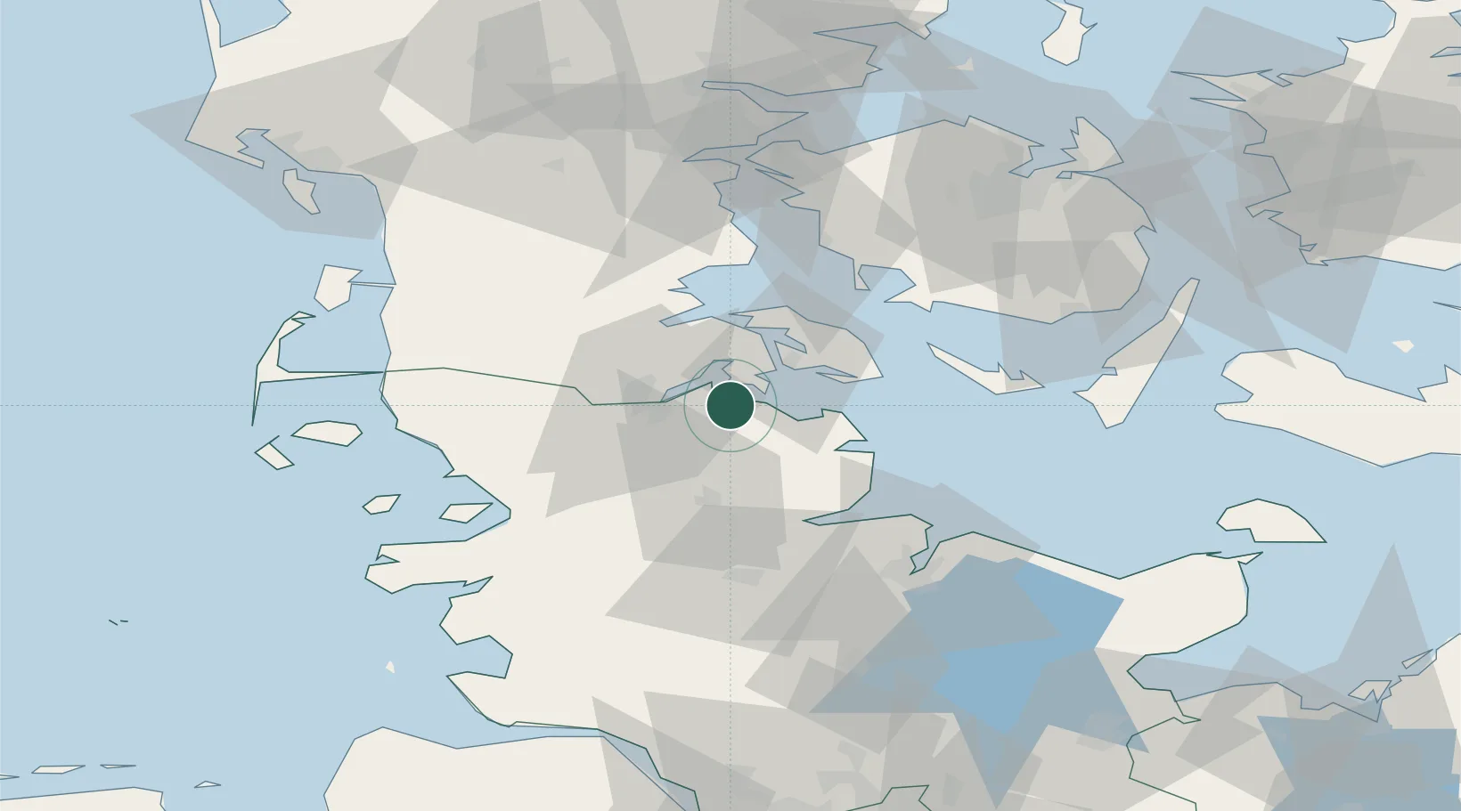
Location
Nearby Logistics Neighbours
Cities
- 1Glücksburg7 km
- 2Sønderborg15 km
- 3Jarplund15 km
- 4Flensburg16 km
- 5Padborg18 km
Ports
- 1Flensburg13 km
- 2Sonderborg16 km
- 3Augustenborg22 km
- 4Kappeln24 km
- 5Ensted27 km
Airports
- 1Sønderborg Airport21 km
- 2Schleswig Air Base39 km
- 3Skrydstrup Air Base52 km
- 4Ærø Airfield53 km
- 5Hohn Air Base55 km
Trade Zones
DatabookThe Record of Consolidated Knowledge
Germany beyond logistics?