Transport Functions
Port
Rail
Road
Airport
Hub Profile
Place type
District seat
Region
Schleswig-Holstein
Population
85,838
Time zone
Europe/Berlin
Elevation
33 m
Logistics facilities
1
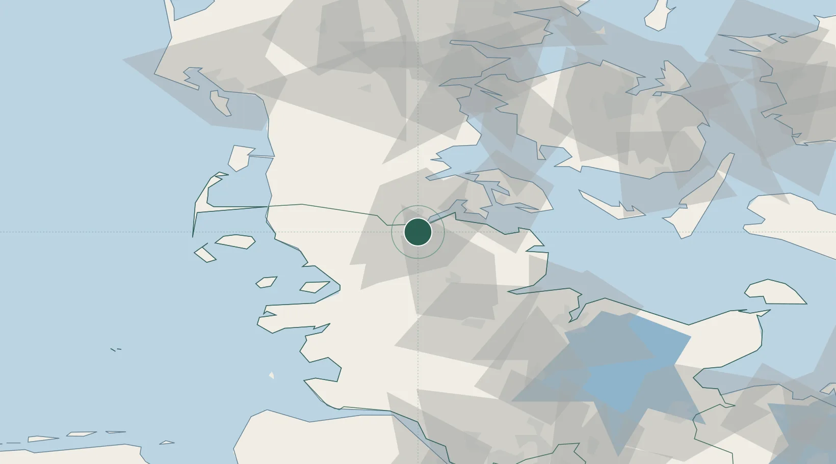
Location
Nearby Logistics Neighbours
Cities
- 1Jarplund5 km
- 2Padborg6 km
- 3Glücksburg12 km
- 4Langballig16 km
- 5Jübek24 km
Ports
- 1Ensted28 km
- 2Sonderborg30 km
- 3Abenra31 km
- 4Augustenborg36 km
- 5Kappeln36 km
Airports
- 1Sønderborg Airport33 km
- 2Schleswig Air Base35 km
- 3Skrydstrup Air Base51 km
- 4Hohn Air Base52 km
- 5Kiel-Holtenau Airport65 km
Trade Zones
DatabookThe Record of Consolidated Knowledge
Germany beyond logistics?