Transport Functions
Port
Hub Profile
Place type
Populated place
Region
Schleswig-Holstein
Time zone
Europe/Berlin
Elevation
10 m
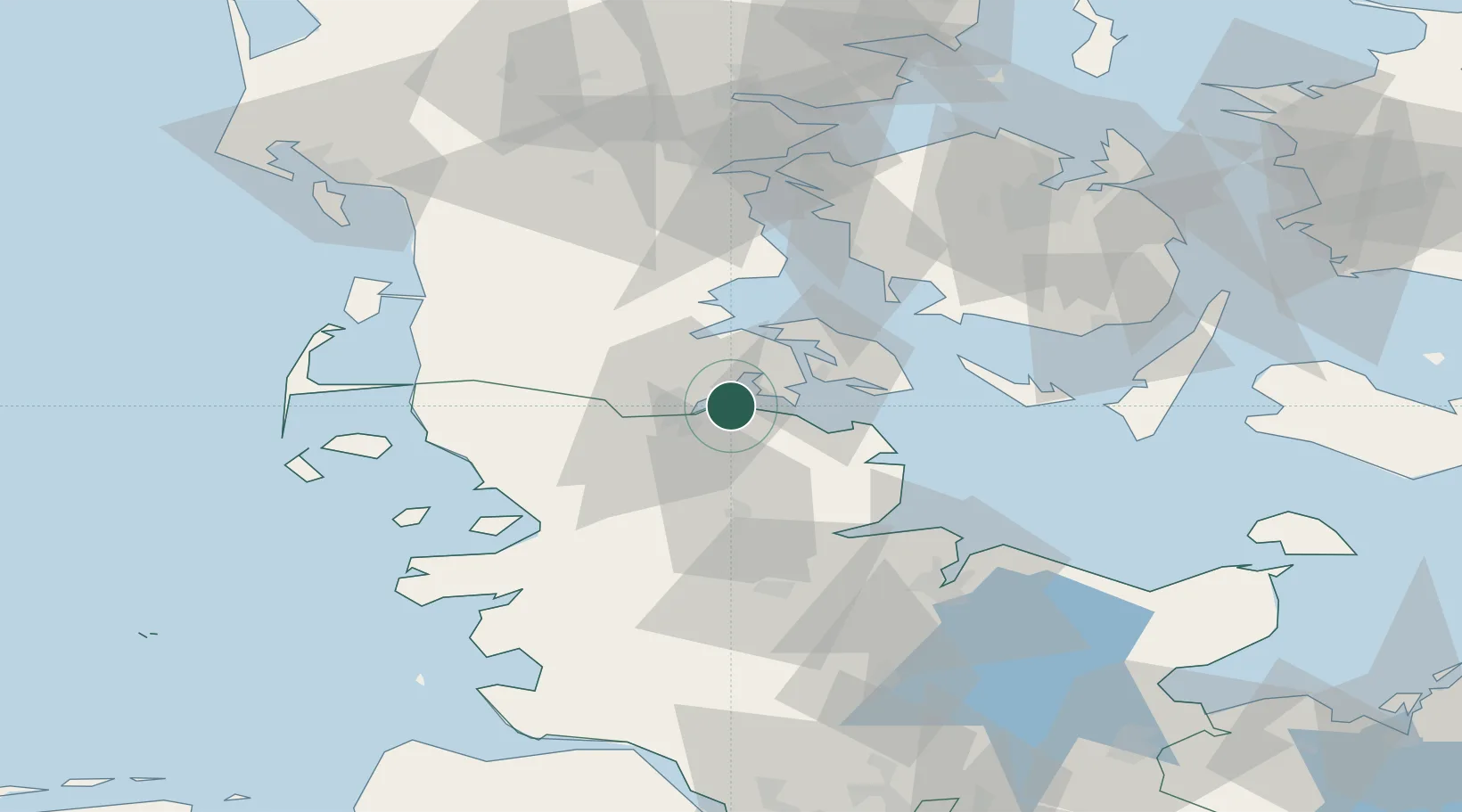
Location
Nearby Logistics Neighbours
Cities
- 1Langballig7 km
- 2Flensburg12 km
- 3Padborg13 km
- 4Jarplund13 km
- 5Sønderborg17 km
Ports
- 1Flensburg8 km
- 2Sonderborg18 km
- 3Ensted22 km
- 4Augustenborg24 km
- 5Abenra25 km
Airports
- 1Sønderborg Airport21 km
- 2Schleswig Air Base42 km
- 3Skrydstrup Air Base47 km
- 4Hohn Air Base58 km
- 5Ærø Airfield58 km
Trade Zones
DatabookThe Record of Consolidated Knowledge
Germany beyond logistics?