UN/LOCODE hub · Germany
DESMA
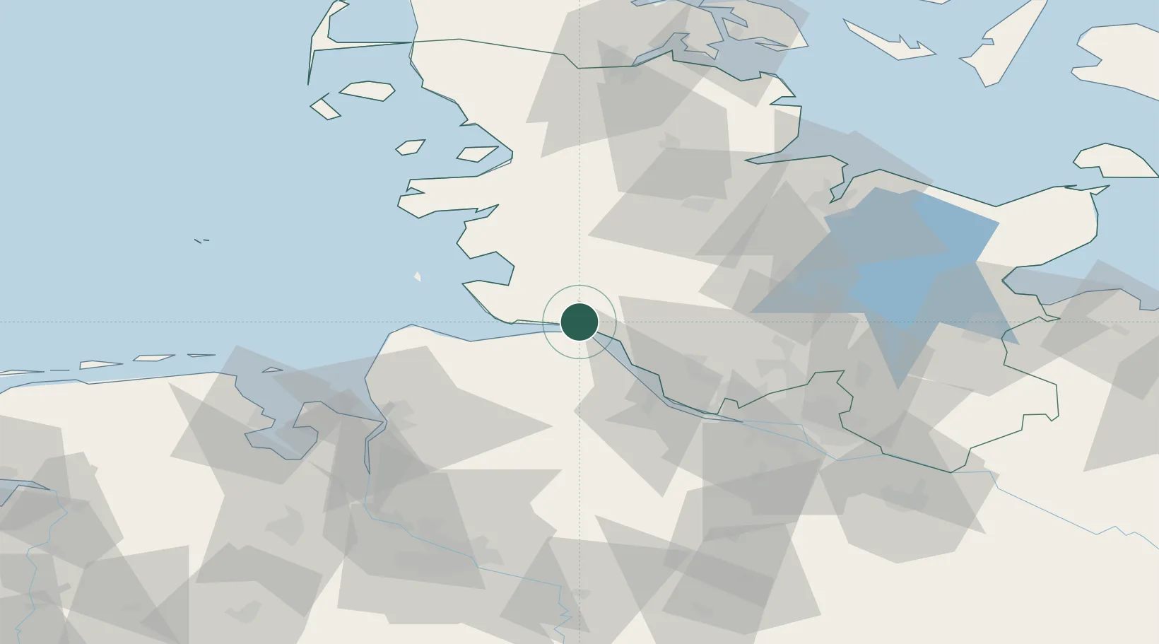
Sankt Margarethen
53.9000°, 9.2500°
1,072
Population
2
Transport functions
Transport Functions
Port
Road
Hub Profile
Place type
Local administrative seat
Region
Schleswig-Holstein
Population
1,072
Time zone
Europe/Berlin
Elevation
1 m
Location
Nearby Logistics Neighbours
Cities
- 1Ostermoor4 km
- 2Ecklak6 km
- 3Kiel Canal8 km
- 4Sankt Michaelisdonn13 km
- 5Wischhafen14 km
Ports
- 1Brunsbuttel Elbahafen6 km
- 2Gluckstadt17 km
- 3Itzehoe18 km
- 4Neuhaus18 km
- 5Butzfleth33 km
Airports
Trade Zones
DatabookThe Record of Consolidated Knowledge
Germany beyond logistics?