Transport Functions
Port
Hub Profile
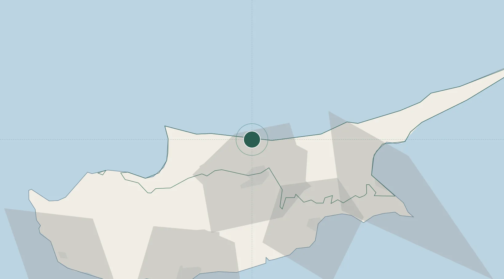
Place type
Regional capital
Region
Keryneia
Population
26,701
Time zone
Asia/Famagusta
Elevation
20 m
Location
Nearby Logistics Neighbours
Cities
- 1Nicosia19 km
- 2Karavostasi51 km
- 3Larnaca53 km
- 4Dhekelia54 km
- 5Famagusta62 km
Airports
Trade Zones
- 1Larnaca Free Zone52 km
- 2Famagusta Free Port and Zone59 km
- 3Limassol Free Port81 km
- 4Mersin Free Zone203 km
- 5Karaman Organized Industrial Zone209 km
DatabookThe Record of Consolidated Knowledge
Cyprus beyond logistics?