Medium airport · Cuba
Orestes Acosta AirportMUMO
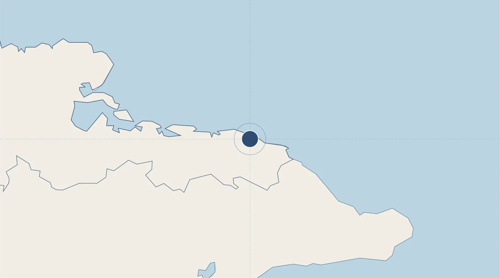
20.6539°, -74.9222°
6,102 ft
Longest runway
1
Runways
16 ft
Elevation
Runway & Layout

Radio Frequencies
TWR
123.4 MHz
MOA TWR
A/G
340.7 MHz
MOA RDO
Navaids
UMO NDB Moa 212 kHz
Runways · 1
| Runway | Dimensions | Surface | True heading | Lit |
|---|---|---|---|---|
| 07/25 | 6,102 × 98ft | Asphalt | 063° | — |
Airport Specifications
IATA code
MOA
ICAO code
MUMO
Airport class
Medium airport
Scheduled service
No
Runway surface
Asphalt
Served city
Moa
Location
Nearby Logistics Neighbours
Airports
- 1Gustavo Rizo Airport54 km
- 2Mariana Grajales Airport68 km
- 3Leeward Point Field88 km
- 4Antonio Maceo International Airport122 km
- 5Inagua Airport135 km
Cities
- 1Sagua de Tánamo33 km
- 2Banes90 km
- 3Pilón96 km
- 4Antilla99 km
- 5Santiago de Cuba118 km
Ports
- 1Cayo Moa Grande3 km
- 2Bahia De Sagua De Tanamo43 km
- 3Baracoa56 km
- 4Nicaro66 km
- 5Felton71 km
Trade Zones
- 1FTZ de Trou du Nord323 km
- 2Caracol Free Zone323 km
- 3Lafito Port Free Zone346 km
- 458 HWT Tech Park354 km
- 5CODEVI Free Zone356 km
DatabookThe Record of Consolidated Knowledge
Cuba beyond logistics?