Channel & Berth Profile
Pilotage, Tugs & Services
Pilotage compulsoryYES
Pilotage availableYES
Pilotage advisableYES
Local assistanceYES
Tug assistanceYES
Potable waterYES
Diesel bunkersYES
MedicalYES
Facilities & Capabilities
Container—
Ro-Ro—
Liquid bulkYES
Dry bulk—
Oil terminal—
Break bulk—
Dry dock—
RepairsNO
BunkeringYES
Rail link—
Dangerous cargo—
ISPS securityYES
Harbour Specifications
Harbour size
Very Small
Harbour type
Canal or Lake
Shelter
Fair
Water body
Caribbean Sea; North Atlantic Ocean
Tidal range
1 m
Overhead limit
No
Pilotage
Yes
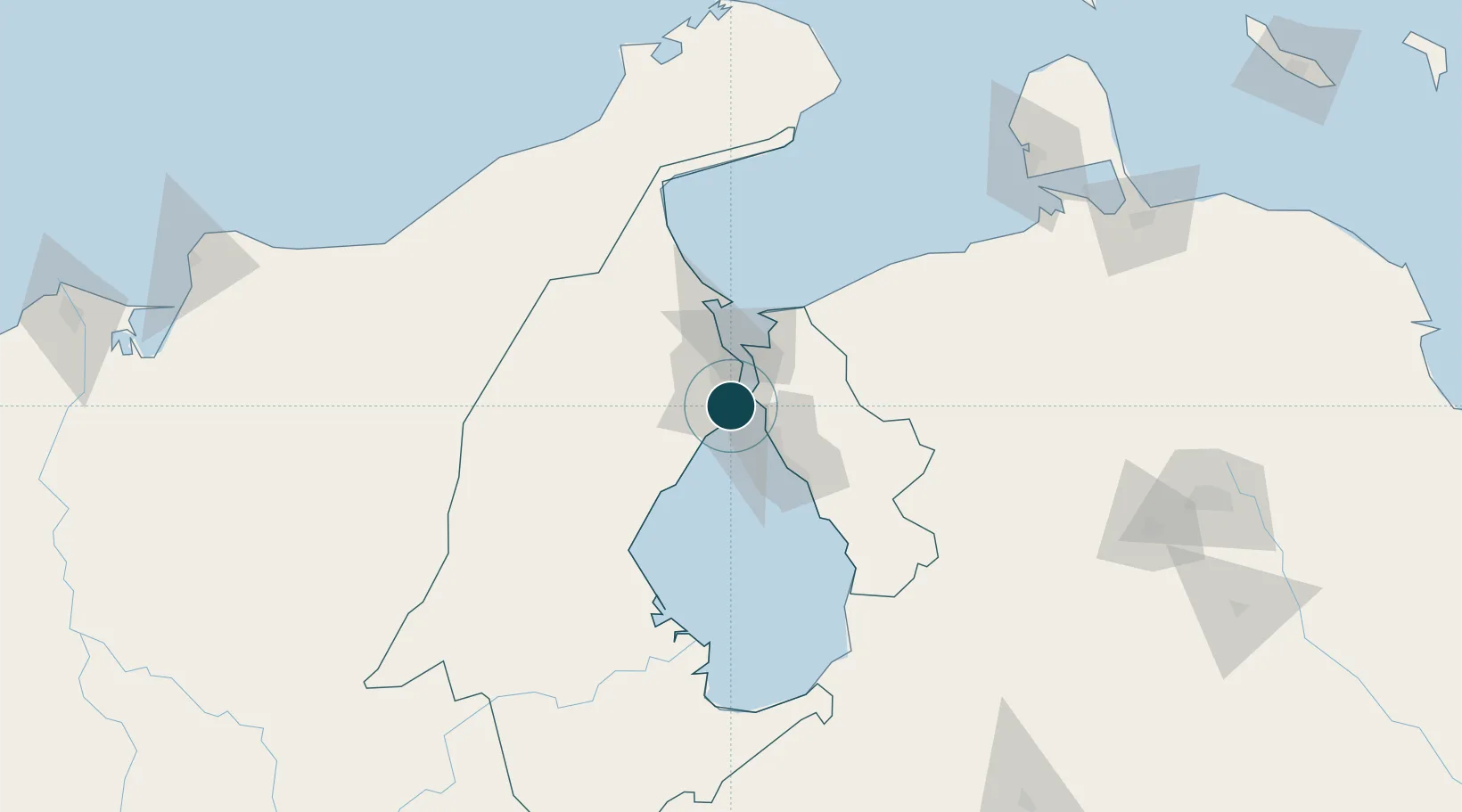
Location
Nearby Logistics Neighbours
Ports
- 1Maracaibo14 km
- 2La Salina25 km
- 3Puerto Miranda29 km
- 4El Tabiazo30 km
- 5Punta De Palmas30 km
Cities
- 1Chiquinquirá9 km
- 2Maracaibo14 km
- 3San Lorenzo/maracaibo L103 km
- 4Manaure164 km
- 5Paraguana Refinery Center196 km
Airports
Trade Zones
- 1Free Zone ATUJA9 km
- 2Brisa Free Trade Zone208 km
- 3Free Zone for the Promotion of Tourism Investment in the Paraguaná Peninsula (Zona Libre para el Fomento de la Inversión Turística de la Península de Paraguaná)210 km
- 4Scientific, Cultural and Technological Free Zone of the State of Mérida (Zona Libre Cultural, Científica y Tecnológica del Estado Mérida)223 km
- 5Paraguana SEZ229 km
DatabookThe Record of Consolidated Knowledge
Venezuela beyond logistics?