Economic Revitalization Project · Venezuela
Free Zone ATUJA Active
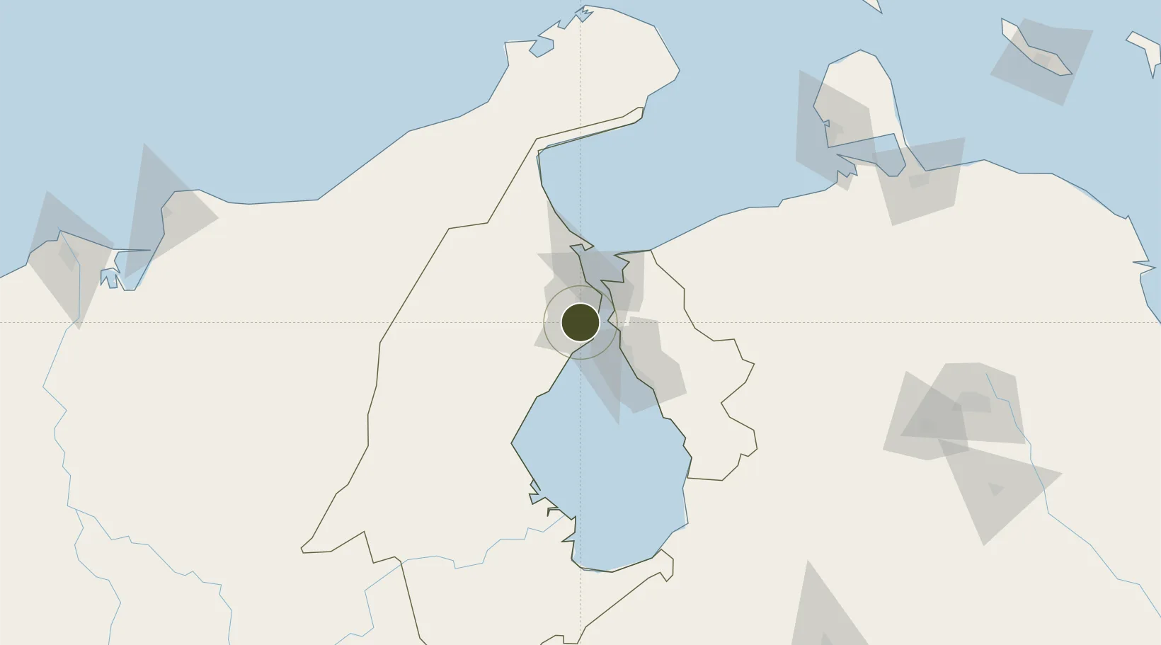
10.5545°, -71.7061°
13,580 ha
Zone area
9.0 km
Nearest port
2.6 km
Nearest airport
Gateway access
Zone profile
Zone type
Economic Revitalization Project
Region
Zulia
Status
Active
Management
Public
Operator
Zona Franca ATUJA, CA
Legal framework
Gaceta Oficial de la República Bolivariana de Venezuela N° 34.772
Location
Nearby Logistics Neighbours
Ports
- 1Bajo Grande9 km
- 2Maracaibo15 km
- 3Puerto Miranda28 km
- 4Punta De Palmas29 km
- 5El Tabiazo30 km
Airports
Cities
- 1Maracaibo15 km
- 2Chiquinquirá16 km
- 3San Lorenzo/maracaibo L111 km
- 4Manaure156 km
- 5Mingueo198 km
Trade Zones
- 1Brisa Free Trade Zone199 km
- 2Free Zone for the Promotion of Tourism Investment in the Paraguaná Peninsula (Zona Libre para el Fomento de la Inversión Turística de la Península de Paraguaná)213 km
- 3Scientific, Cultural and Technological Free Zone of the State of Mérida (Zona Libre Cultural, Científica y Tecnológica del Estado Mérida)229 km
- 4Paraguana SEZ233 km
- 5Zona Franca Las Américas278 km
DatabookThe Record of Consolidated Knowledge
Venezuela beyond logistics?