Seaport · Venezuela
MaracaiboVEMAR
10.6333°, -71.6000°
9.4 m
Channel depth
1
Container terminals
18.8
Port liner connectivity
Channel & Berth Profile
Pilotage, Tugs & Services
Pilotage compulsoryYES
Pilotage availableYES
Pilotage advisableYES
Tug assistanceYES
Salvage tugsNO
Shore powerYES
Potable waterYES
Diesel bunkersYES
MedicalYES
Facilities & Capabilities
ContainerYES
Ro-RoYES
Liquid bulk—
Dry bulkYES
Oil terminal—
Break bulkYES
Dry dockNO
RepairsNO
BunkeringYES
Rail link—
Dangerous cargo—
ISPS securityYES
Harbour Specifications
Harbour size
Medium
Harbour type
Open Roadstead
Shelter
Excellent
Water body
Caribbean Sea; North Atlantic Ocean
Overhead limit
No
Pilotage
Yes
Liner Connectivity
18.8
PLSCI
Port Liner Shipping Connectivity Index for Maracaibo, as published by UNCTAD for the latest available quarter. Higher values indicate stronger scheduled liner-shipping integration.
Shown relative to the highest per-port PLSCI in the dataset (1,657.9).
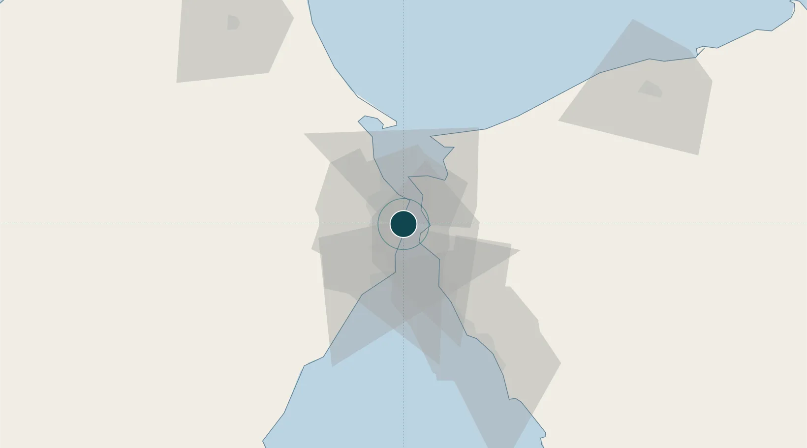
Location
Container Terminals · 1
PUERTO DE MARACAIBO (BOLIPUERTOS)
PMAR BOLIVARIANA DE PUERTOS (BOLIPUERTOS), S.A.
Nearby Logistics Neighbours
Ports
- 1Bajo Grande14 km
- 2Puerto Miranda15 km
- 3El Tabiazo17 km
- 4Punta De Palmas17 km
- 5La Salina33 km
Cities
- 1Chiquinquirá23 km
- 2San Lorenzo/maracaibo L111 km
- 3Manaure155 km
- 4Paraguana Refinery Center185 km
- 5Punta Cardón189 km
Airports
Trade Zones
- 1Free Zone ATUJA15 km
- 2Free Zone for the Promotion of Tourism Investment in the Paraguaná Peninsula (Zona Libre para el Fomento de la Inversión Turística de la Península de Paraguaná)199 km
- 3Brisa Free Trade Zone207 km
- 4Paraguana SEZ219 km
- 5Scientific, Cultural and Technological Free Zone of the State of Mérida (Zona Libre Cultural, Científica y Tecnológica del Estado Mérida)235 km
DatabookThe Record of Consolidated Knowledge
Venezuela beyond logistics?