Transport Functions
Multimodal
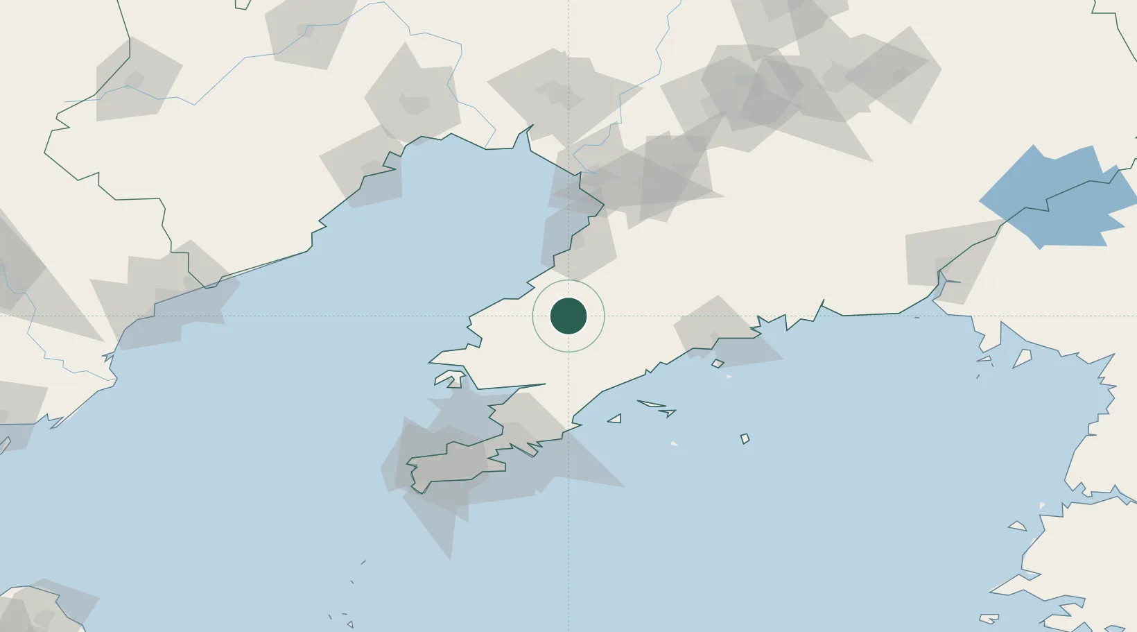
Hub Profile
Place type
Populated place
Region
Liaoning
Time zone
Asia/Shanghai
Elevation
155 m
Location
Nearby Logistics Neighbours
Cities
- 1Yinkou51 km
- 2Yangshufang55 km
- 3Sikuaishi72 km
- 4Zhuanghe Pt77 km
- 5Dalian92 km
Ports
- 1Bayuquan54 km
- 2Yingkou97 km
- 3Dalian106 km
- 4Jinzhou Wan133 km
- 5Lushun135 km
Airports
- 1Laohutun Air Base32 km
- 2Pulandian Air Base41 km
- 3Sanshilipu Air Base65 km
- 4Changhai Dachangshandao Airport79 km
- 5Yingkou Lanqi Airport84 km
Trade Zones
DatabookThe Record of Consolidated Knowledge
China beyond logistics?