Free Trade Zone · China

Wafangdian Bearing Industrial Park Active
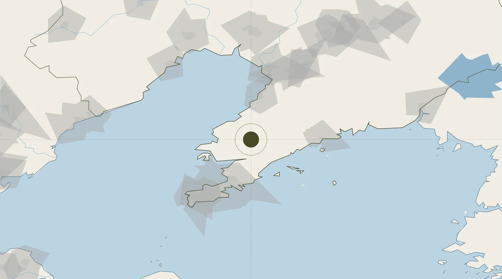
39.6683°, 122.0060°
40,242 ha
Zone area
70.5 km
Nearest port
20.5 km
Nearest airport

Gateway access

Nearest neighbours — logibook spatial index (haversine) over the source coordinates

Zone profile

Zone type
Free Trade Zone
Open Zone Map
Region
Liaoning
Open Zone Map
Status
Active
Open Zone Map
Management
Public
Open Zone Map
Operator
Working Committee of Wafangdian Bearing Industrial Park
Open Zone Map
Legal framework
Plan for Deepening Park Reform of Dalian City, Plan for Establishment of Reform Institutions of Dalian City Park
Open Zone Map

Location

Location of ozm-1581
Natural Earth 10m (public domain) · Liaoning · ozm-1581 · 39.67, 122.01GoogleOSMYandex

Nearby Logistics Neighbours

Ports
  1. 1Bayuquan71 km
  2. 2Dalian89 km
  3. 3Yingkou115 km
  4. 4Lushun118 km
  5. 5Jinzhou Wan143 km
Nearest neighbours — logibook spatial index (haversine) over the source coordinates
Airports
  1. 1Laohutun Air Base21 km
  2. 2Pulandian Air Base24 km
  3. 3Sanshilipu Air Base47 km
  4. 4Changhai Dachangshandao Airport72 km
  5. 5Dalian Zhoushuizi International Airport88 km
Nearest neighbours — logibook spatial index (haversine) over the source coordinates
Cities
  1. 1Songshu18 km
  2. 2Sikuaishi64 km
  3. 3Yinkou69 km
  4. 4Yangshufang73 km
  5. 5Dalian74 km
Nearest neighbours — logibook spatial index (haversine) over the source coordinates
Trade Zones
  1. 1Pulandian Economic Development Zone27 km
  2. 2Huayuankou Economic Zone56 km
  3. 3Dalian Export Processing Zone76 km
  4. 4Dalian Circular Industry Economic Zone84 km
  5. 5Yingkou Coastal Industrial Base108 km
Nearest neighbours — logibook spatial index (haversine) over the source coordinates
DatabookThe Record of Consolidated Knowledge
China beyond logistics?
Browse databook

All Sources

Trade ZonesOpen Zone Map
CC BY
Portsthe NGA World Port Index
Public domain (US gov)
AirportsOurAirports
Public domain
LocationsUN/LOCODE
UN/LOCODE — free
← China trade zones