Transport Functions
Port
Hub Profile
Place type
Populated place
Region
Liaoning
Time zone
Asia/Shanghai
Elevation
8 m
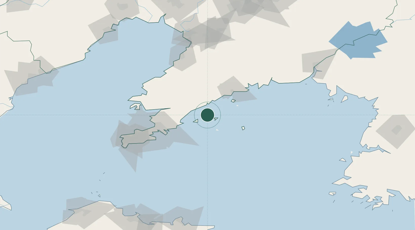
Location
Nearby Logistics Neighbours
Cities
- 1Zhuanghe Pt56 km
- 2Dalian67 km
- 3Songshu72 km
- 4Dashihuagang94 km
- 5Yangshufang106 km
Airports
Trade Zones
DatabookThe Record of Consolidated Knowledge
China beyond logistics?