UN/LOCODE hub · China
CNLSH

Lushun New Pt

38.6833°, 121.1833°
1
Transport functions

Transport Functions

Port
Lushun New Pt is also a profiled seaport →
UN/LOCODE

Hub Profile

Region
LN
GeoNames

Location

Location of CNLSH
Natural Earth 10m (public domain) · LN · CNLSH · 38.68, 121.18GoogleOSMYandex

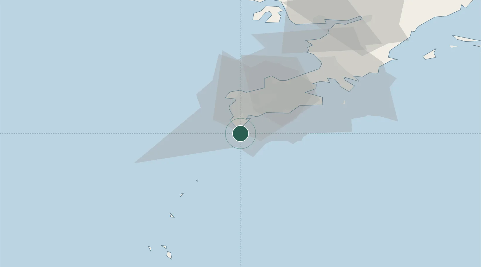
Nearby Logistics Neighbours

Cities
  1. 1Dashihuagang43 km
  2. 2Dalian70 km
  3. 3Penglai Pt105 km
  4. 4Yantai126 km
  5. 5Yantai Pt128 km
Nearest neighbours — logibook spatial index (haversine) over the source coordinates
Ports
  1. 1Dalian49 km
  2. 2Penglai101 km
  3. 3Yantai128 km
  4. 4Longkou Gang141 km
  5. 5Weihai154 km
Nearest neighbours — logibook spatial index (haversine) over the source coordinates
Airports
  1. 1Tuchengzi Air Base26 km
  2. 2Dalian Zhoushuizi International Airport44 km
  3. 3Sanshilipu Air Base84 km
  4. 4Pulandian Air Base112 km
  5. 5Yantai Penglai International Airport115 km
Nearest neighbours — logibook spatial index (haversine) over the source coordinates
Trade Zones
  1. 1Dalian Export Processing Zone69 km
  2. 2Pulandian Economic Development Zone106 km
  3. 3Yantai Export Processing Zone124 km
  4. 4Wafangdian Bearing Industrial Park131 km
  5. 5Longkou High-tech Industrial Park132 km
Nearest neighbours — logibook spatial index (haversine) over the source coordinates
DatabookThe Record of Consolidated Knowledge
China beyond logistics?
Browse databook

All Sources

LocationsUN/LOCODE
UN/LOCODE — free
Portsthe NGA World Port Index
Public domain (US gov)
AirportsOurAirports
Public domain
Trade Zonesthe World Bank SEZ database
CC BY 4.0
Trade ZonesOpen Zone Map
CC BY
← China locations