UN/LOCODE hub · China
CNDAL
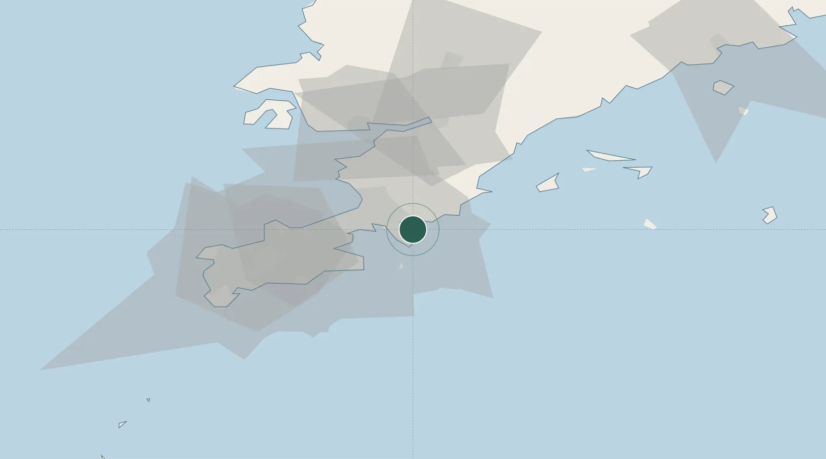
Dalian
39.0089°, 121.8736°
4,913,879
Population
4
Transport functions
1
Container terminals
Transport Functions
Port
Rail
Airport
Postal
Hub Profile
Place type
Populated place
Region
Liaoning
Population
4,913,879
Time zone
Asia/Shanghai
Elevation
33 m
Logistics facilities
3
Container terminals
1
Location
Nearby Logistics Neighbours
Cities
- 1Dashihuagang27 km
- 2Sikuaishi67 km
- 3Lushun New Pt70 km
- 4Songshu92 km
- 5Zhuanghe Pt120 km
Airports
- 1Dalian Zhoushuizi International Airport29 km
- 2Sanshilipu Air Base33 km
- 3Pulandian Air Base51 km
- 4Tuchengzi Air Base56 km
- 5Laohutun Air Base74 km
Trade Zones
DatabookThe Record of Consolidated Knowledge
China beyond logistics?