UN/LOCODE hub · China
CNPLI

Penglai Pt

37.8000°, 120.7500°
1
Transport functions

Transport Functions

Port
Penglai Pt is also a profiled seaport →
UN/LOCODE

Hub Profile

Region
SD
GeoNames

Location

Location of CNPLI
Natural Earth 10m (public domain) · SD · CNPLI · 37.80, 120.75GoogleOSMYandex

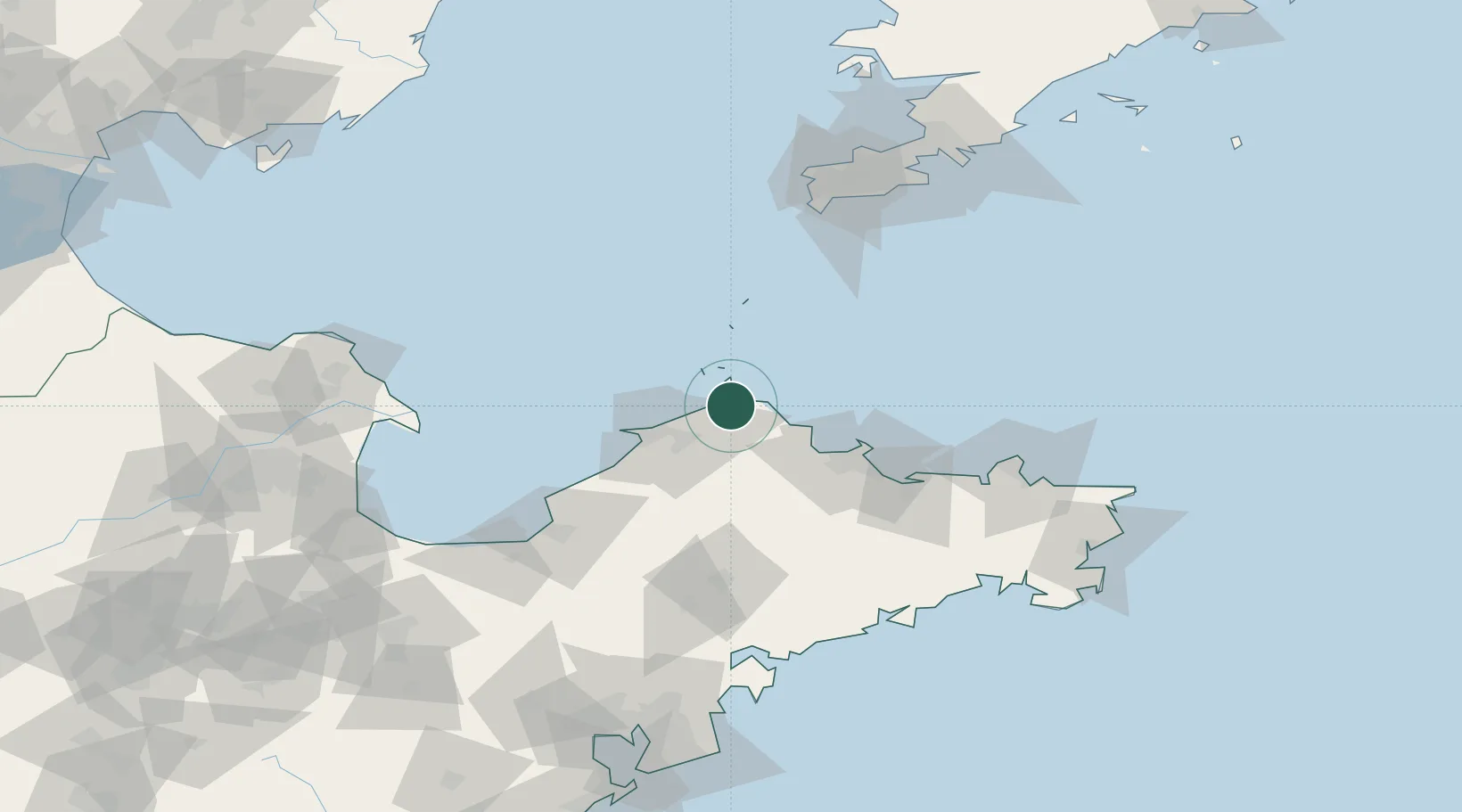
Nearby Logistics Neighbours

Cities
  1. 1Longkou Pt43 km
  2. 2Yantai61 km
  3. 3Yantai Pt65 km
  4. 4Laizhou Pt100 km
  5. 5Laiyang100 km
Nearest neighbours — logibook spatial index (haversine) over the source coordinates
Ports
  1. 1Longkou Gang45 km
  2. 2Yantai68 km
  3. 3Lushun118 km
  4. 4Weihai123 km
  5. 5Dalian148 km
Nearest neighbours — logibook spatial index (haversine) over the source coordinates
Airports
  1. 1Yantai Penglai International Airport25 km
  2. 2Laiyang Air Base94 km
  3. 3Tuchengzi Air Base131 km
  4. 4Dalian Zhoushuizi International Airport147 km
  5. 5Weihai Dashuibo Airport147 km
Nearest neighbours — logibook spatial index (haversine) over the source coordinates
Trade Zones
  1. 1Longkou High-tech Industrial Park29 km
  2. 2Longkou Economic Development Zone41 km
  3. 3Qixia Economic Development Zone44 km
  4. 4Zhaoyuan Industrial Park53 km
  5. 5Yantai Export Processing Zone60 km
Nearest neighbours — logibook spatial index (haversine) over the source coordinates
DatabookThe Record of Consolidated Knowledge
China beyond logistics?
Browse databook

All Sources

LocationsUN/LOCODE
UN/LOCODE — free
Portsthe NGA World Port Index
Public domain (US gov)
AirportsOurAirports
Public domain
Trade Zonesthe World Bank SEZ database
CC BY 4.0
Trade ZonesOpen Zone Map
CC BY
← China locations