UN/LOCODE hub · China
CNDAS

Dashihuagang

38.9000°, 121.6000°
1
Transport functions

Transport Functions

Port
UN/LOCODE

Hub Profile

Region
21
GeoNames

Location

Location of CNDAS
Natural Earth 10m (public domain) · 21 · CNDAS · 38.90, 121.60GoogleOSMYandex

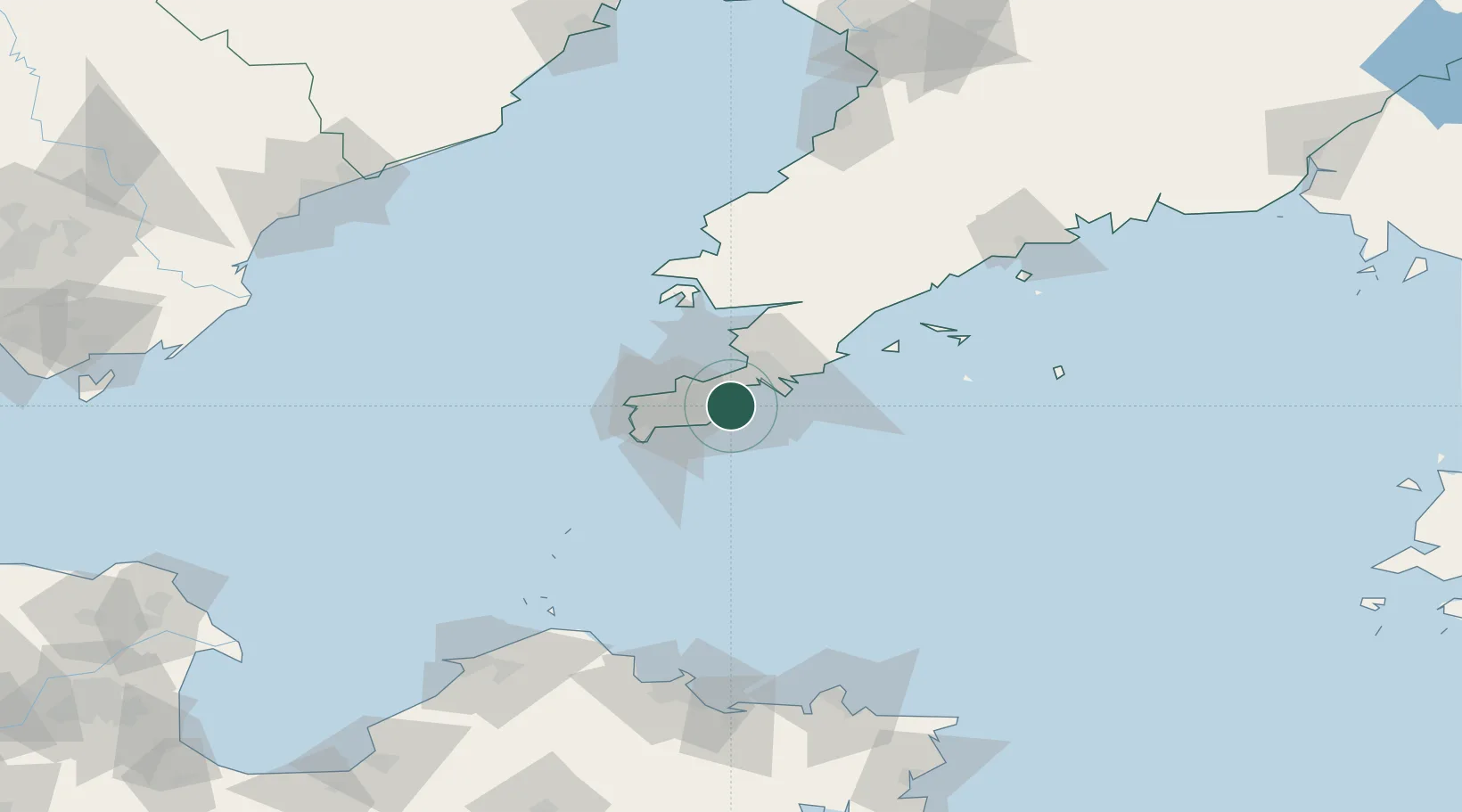
Nearby Logistics Neighbours

Cities
  1. 1Dalian27 km
  2. 2Lushun New Pt43 km
  3. 3Sikuaishi94 km
  4. 4Songshu110 km
  5. 5Penglai Pt143 km
Nearest neighbours — logibook spatial index (haversine) over the source coordinates
Ports
  1. 1Dalian6 km
  2. 2Lushun33 km
  3. 3Penglai138 km
  4. 4Yantai151 km
  5. 5Bayuquan161 km
Nearest neighbours — logibook spatial index (haversine) over the source coordinates
Airports
  1. 1Dalian Zhoushuizi International Airport9 km
  2. 2Tuchengzi Air Base31 km
  3. 3Sanshilipu Air Base46 km
  4. 4Pulandian Air Base71 km
  5. 5Laohutun Air Base87 km
Nearest neighbours — logibook spatial index (haversine) over the source coordinates
Trade Zones
  1. 1Dalian Export Processing Zone26 km
  2. 2Pulandian Economic Development Zone66 km
  3. 3Wafangdian Bearing Industrial Park92 km
  4. 4Huayuankou Economic Zone117 km
  5. 5Dalian Circular Industry Economic Zone148 km
Nearest neighbours — logibook spatial index (haversine) over the source coordinates
DatabookThe Record of Consolidated Knowledge
China beyond logistics?
Browse databook

All Sources

LocationsUN/LOCODE
UN/LOCODE — free
Portsthe NGA World Port Index
Public domain (US gov)
AirportsOurAirports
Public domain
Trade Zonesthe World Bank SEZ database
CC BY 4.0
Trade ZonesOpen Zone Map
CC BY
← China locations