UN/LOCODE hub · Chile
CLPNT
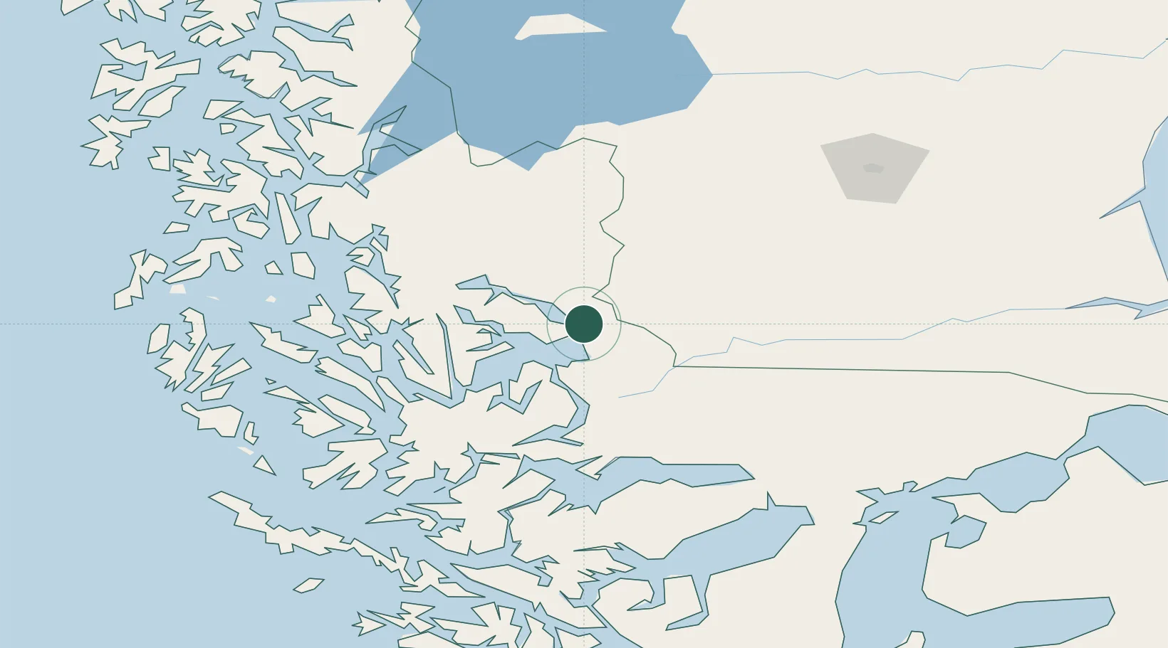
Puerto Natales
-51.7167°, -72.5000°
18,505
Population
3
Transport functions
Transport Functions
Port
Road
Airport
Hub Profile
Place type
Populated place
Region
Region of Magallanes
Population
18,505
Time zone
America/Punta_Arenas
Elevation
16 m
Location
Nearby Logistics Neighbours
Cities
- 1Isla Guarello133 km
- 2Pecket164 km
- 3Cabo Negro179 km
- 4Bahia Laredo181 km
- 5Bahía San Gregorio190 km
Ports
- 1Puerto Sara187 km
- 2Rada Punta Arenas194 km
- 3Caleta Clarencia210 km
- 4Puerto Gallegos244 km
- 5San Sebastian Bay315 km
Airports
DatabookThe Record of Consolidated Knowledge
Chile beyond logistics?