Transport Functions
Port
Hub Profile
Region
MA
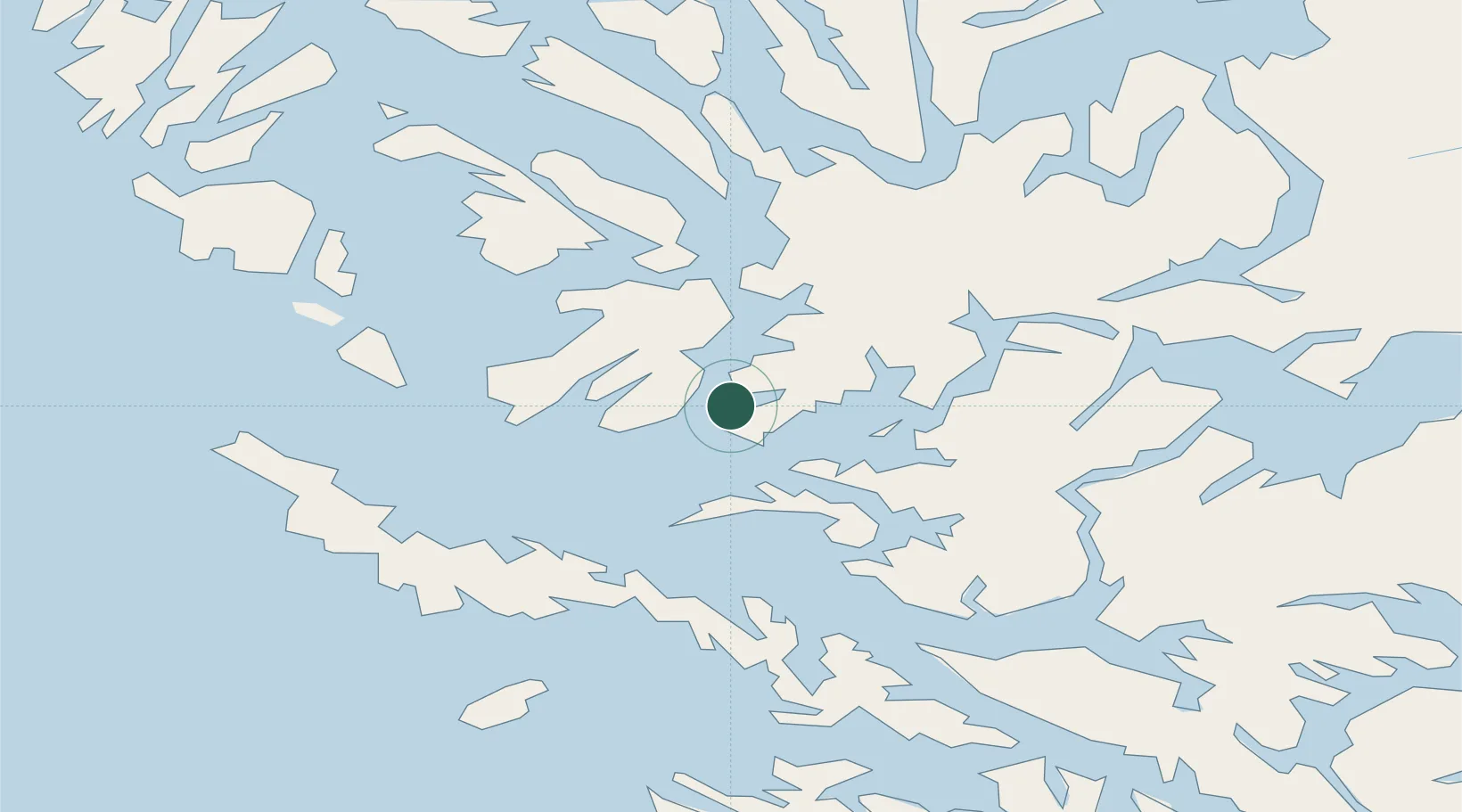
Location
Nearby Logistics Neighbours
Cities
- 1Puerto Natales133 km
- 2Pecket171 km
- 3Cabo Negro193 km
- 4Tres Puentes194 km
- 5Panguipulli196 km
Ports
- 1Puerto Natales130 km
- 2Rada Punta Arenas195 km
- 3Puerto Sara235 km
- 4Caleta Clarencia242 km
- 5Puerto Gallegos342 km
Airports
DatabookThe Record of Consolidated Knowledge
Chile beyond logistics?