Transport Functions
Rail
Road
Hub Profile
Place type
Urban district
Region
Biobío
Time zone
America/Santiago
Elevation
27 m
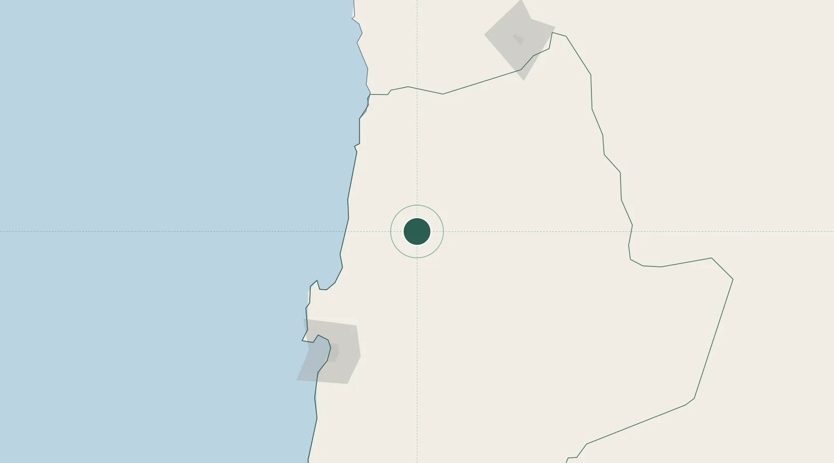
Location
Nearby Logistics Neighbours
Cities
- 1Sierra Gorda49 km
- 2Michilla63 km
- 3Tocopilla78 km
- 4Calama79 km
- 5Puerto Angamos93 km
Ports
- 1Tocopilla82 km
- 2Mejillones99 km
- 3Antofagasta140 km
- 4Caleta Patillos215 km
- 5Iquique272 km
Airports
- 1Barriles Airport65 km
- 2El Loa Airport79 km
- 3Andrés Sabella Gálvez International Airport123 km
- 4Diego Aracena International Airport236 km
- 5Las Breas Airport337 km
Trade Zones
DatabookThe Record of Consolidated Knowledge
Chile beyond logistics?