Transport Functions
Port
Road
Hub Profile
Place type
Urban district
Region
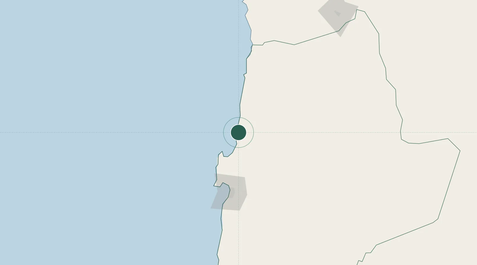
Antofagasta
Time zone
America/Santiago
Elevation
41 m
Location
Nearby Logistics Neighbours
Cities
- 1Puerto Angamos43 km
- 2Mejillones45 km
- 3Pedro de Valdivia63 km
- 4Tocopilla73 km
- 5Sierra Gorda99 km
Ports
- 1Mejillones46 km
- 2Tocopilla72 km
- 3Antofagasta103 km
- 4Caleta Patillos223 km
- 5Iquique282 km
Airports
- 1Barriles Airport69 km
- 2Andrés Sabella Gálvez International Airport81 km
- 3El Loa Airport142 km
- 4Diego Aracena International Airport245 km
- 5Las Breas Airport315 km
Trade Zones
DatabookThe Record of Consolidated Knowledge
Chile beyond logistics?