Transport Functions
Rail
Road
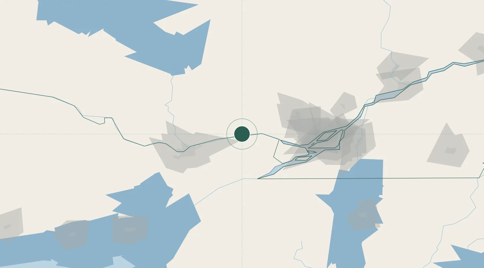
Hub Profile
Place type
Populated place
Region
Quebec
Population
978
Time zone
America/Toronto
Elevation
50 m
Location
Nearby Logistics Neighbours
Cities
- 1Saint-André-Avellin11 km
- 2Alfred12 km
- 3Plantagenet14 km
- 4Sarsfield39 km
- 5Masson41 km
Ports
- 1Fassett5 km
- 2Papineauville8 km
- 3Thurso24 km
- 4Hawkesbury25 km
- 5Grenville26 km
Airports
Trade Zones
- 1Greater Montreal Free Zone Center108 km
- 2FTZ No. 118 Ogdensburg114 km
- 3FTZ No. 109 Watertown200 km
- 4FTZ No. 090 Onondaga276 km
- 5FTZ No. 172 Oneida County282 km
DatabookThe Record of Consolidated Knowledge
Canada beyond logistics?