Transport Functions
Rail
Road
Multimodal
Hub Profile
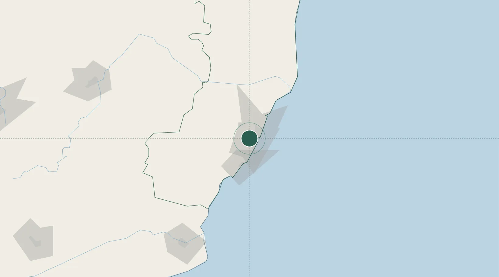
Place type
Populated place
Region
Espírito Santo
Population
353,491
Time zone
America/Sao_Paulo
Elevation
72 m
Location
Nearby Logistics Neighbours
Cities
- 1Vitória9 km
- 2Vila Velha11 km
- 3Praia Mole Pt / Vitória18 km
- 4Tubarão Pt / Vitória18 km
- 5Serra19 km
Ports
- 1Vitoria6 km
- 2Tubarao14 km
- 3Macae272 km
- 4Porto Do Forno343 km
- 5Niteroi404 km
Airports
Trade Zones
- 1ZPE de Aracruz (ES)69 km
- 2ZPE do Açú (RJ)186 km
- 3ZPE de Teófilo Otoni (MG)293 km
- 4ZPE de Itaguaí (RJ)456 km
- 5Zona Franca Ilhéus (BA)645 km
DatabookThe Record of Consolidated Knowledge
Brazil beyond logistics?