UN/LOCODE hub · Brazil
BRTUB

Tubarão Pt / Vitória

-20.2667°, -40.2167°
2
Transport functions

Transport Functions

Port
Rail
Tubarão Pt / Vitória is also a profiled seaport →
UN/LOCODE

Hub Profile

Region
ES
GeoNames

Location

Location of BRTUB
Natural Earth 10m (public domain) · ES · BRTUB · -20.27, -40.22GoogleOSMYandex

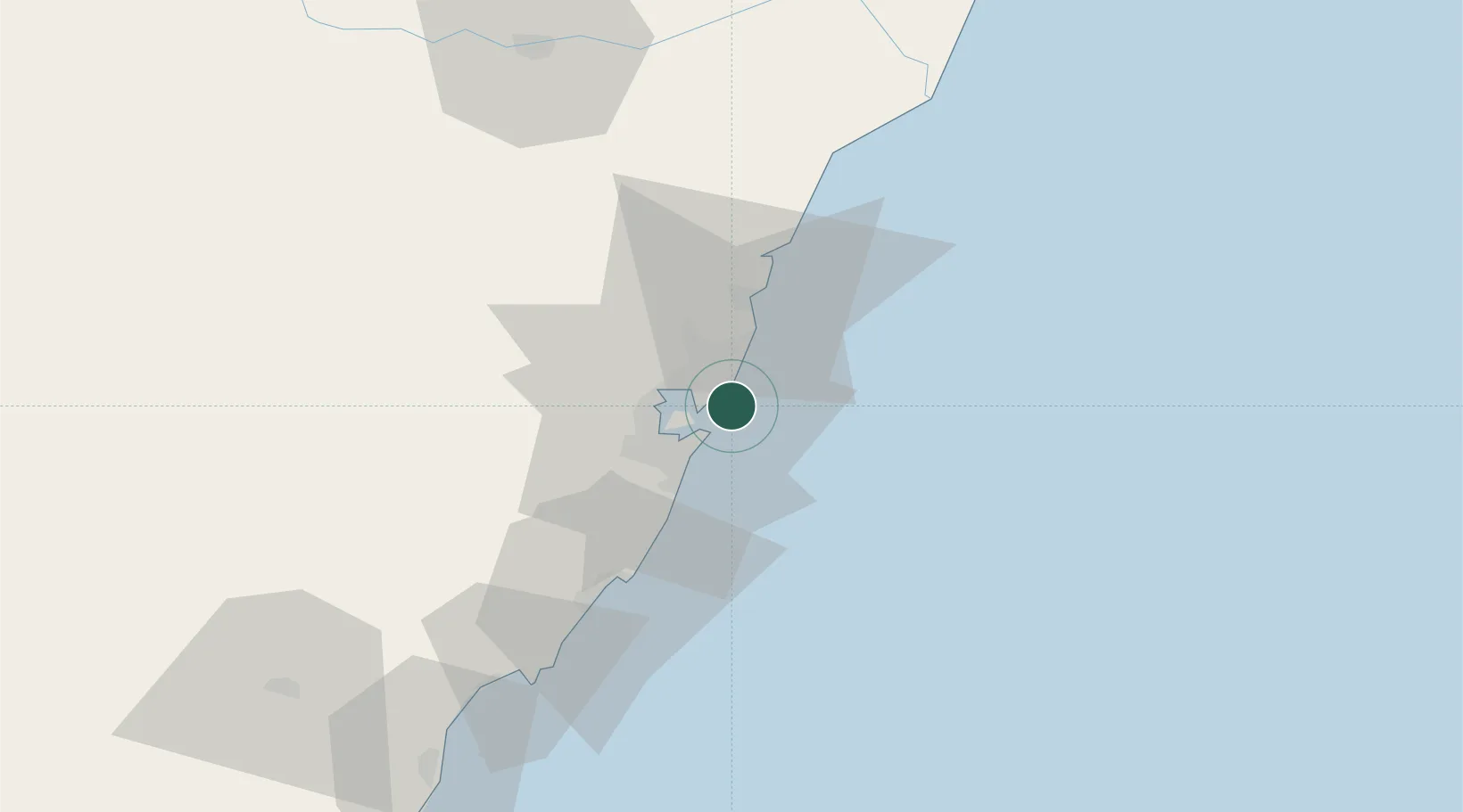
Nearby Logistics Neighbours

Cities
  1. 1Praia Mole Pt / Vitória4 km
  2. 2Vitória12 km
  3. 3Serra14 km
  4. 4Vila Velha16 km
  5. 5Cariacica18 km
Nearest neighbours — logibook spatial index (haversine) over the source coordinates
Ports
  1. 1Vitoria13 km
  2. 2Macae283 km
  3. 3Porto Do Forno353 km
  4. 4Niteroi418 km
  5. 5Rio De Janeiro423 km
Nearest neighbours — logibook spatial index (haversine) over the source coordinates
Airports
  1. 1Eletrocity Heliport7 km
  2. 2Eurico de Aguiar Salles International Airport7 km
  3. 3Guarapari Airport51 km
  4. 4Linhares Municipal Airport103 km
  5. 5Bartolomeu Lisandro Airport195 km
Nearest neighbours — logibook spatial index (haversine) over the source coordinates
Trade Zones
  1. 1ZPE de Aracruz (ES)61 km
  2. 2ZPE do Açú (RJ)194 km
  3. 3ZPE de Teófilo Otoni (MG)298 km
  4. 4ZPE de Itaguaí (RJ)471 km
  5. 5Zona Franca Ilhéus (BA)640 km
Nearest neighbours — logibook spatial index (haversine) over the source coordinates
DatabookThe Record of Consolidated Knowledge
Brazil beyond logistics?
Browse databook

All Sources

LocationsUN/LOCODE
UN/LOCODE — free
Portsthe NGA World Port Index
Public domain (US gov)
AirportsOurAirports
Public domain
Trade Zonesthe World Bank SEZ database
CC BY 4.0
Trade ZonesOpen Zone Map
CC BY
← Brazil locations