Transport Functions
Port
Road
Hub Profile
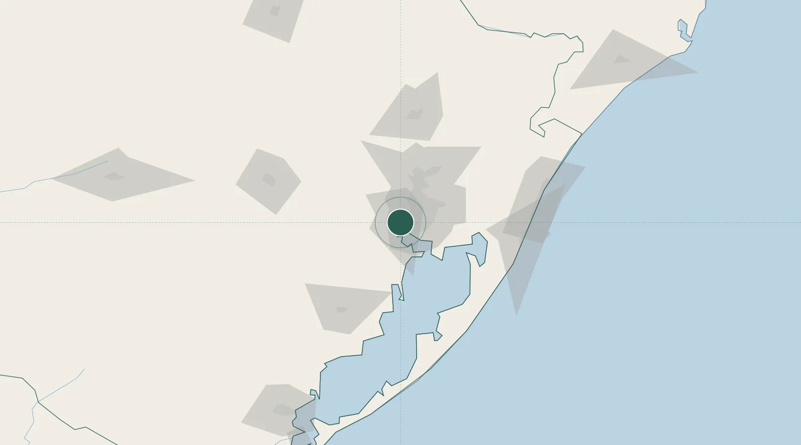
Place type
Populated place
Region
Rio Grande do Sul
Population
92,924
Time zone
America/Sao_Paulo
Elevation
22 m
Location
Nearby Logistics Neighbours
Cities
- 1Porto Alegre12 km
- 2Canoas24 km
- 3Esteio32 km
- 4Charqueadas35 km
- 5Triunfo43 km
Ports
- 1Porto Alegre10 km
- 2Tramandai113 km
- 3Pelotas212 km
- 4Rio Grande229 km
- 5Laguna302 km
Airports
Trade Zones
- 1ZPE de Rio Grande (RS)236 km
- 2ZPE de Imbituba (SC)385 km
- 3Rivera Free Zone418 km
- 4Zona Franca Puerto Iguazu Free Trade Zone594 km
- 5Zona Franca Internacional612 km
DatabookThe Record of Consolidated Knowledge
Brazil beyond logistics?