UN/LOCODE hub · Brazil
BRNHO
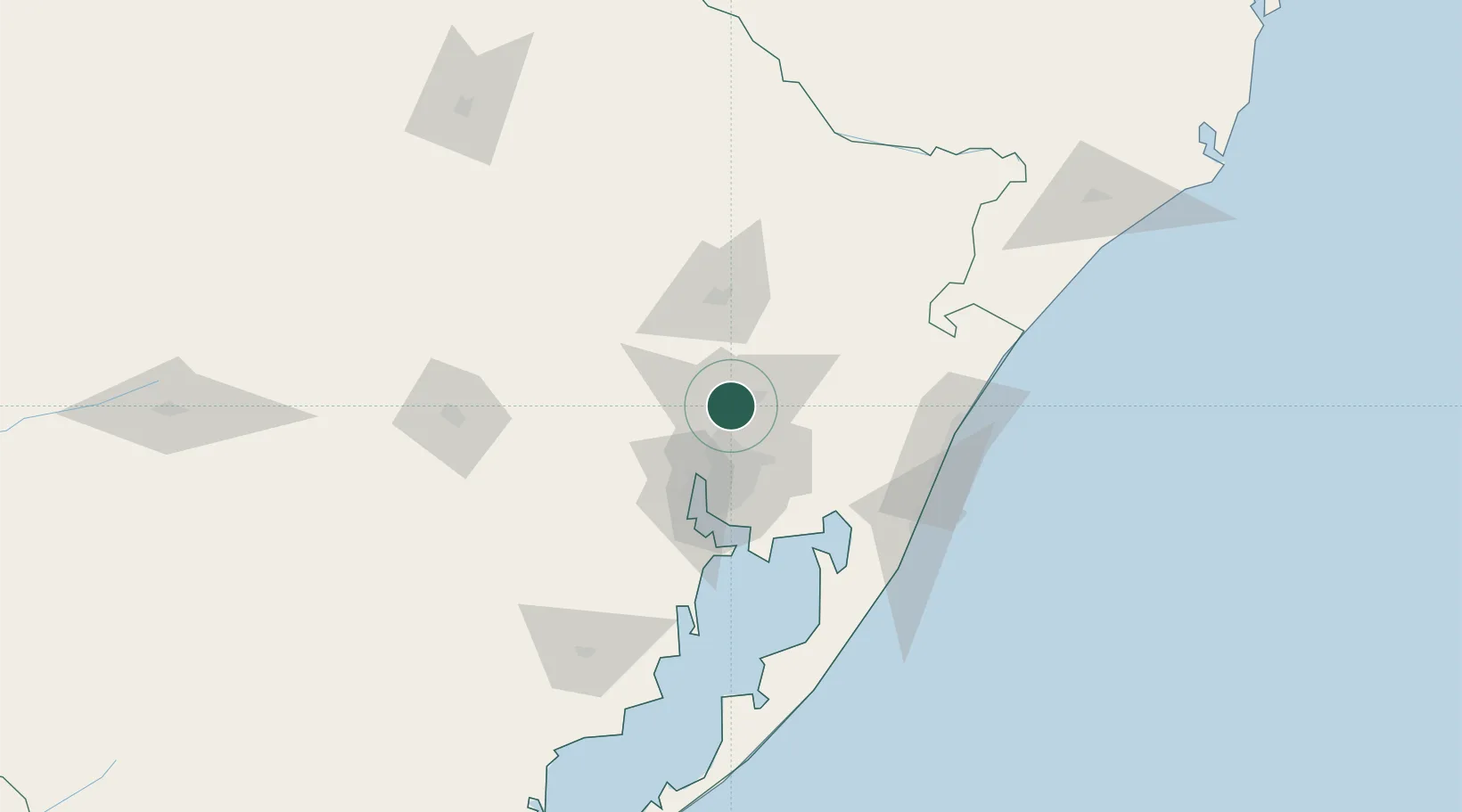
Novo Hamburgo
-29.6833°, -51.1167°
253,841
Population
3
Transport functions
Transport Functions
Road
Airport
Multimodal
Hub Profile
Place type
Populated place
Region
Rio Grande do Sul
Population
253,841
Time zone
America/Sao_Paulo
Elevation
56 m
Location
Nearby Logistics Neighbours
Cities
- 1Esteio19 km
- 2Canoas26 km
- 3Porto Alegre38 km
- 4Guaíba50 km
- 5Charqueadas57 km
Ports
- 1Porto Alegre41 km
- 2Tramandai101 km
- 3Pelotas261 km
- 4Laguna262 km
- 5Rio Grande279 km
Airports
Trade Zones
- 1ZPE de Rio Grande (RS)286 km
- 2ZPE de Imbituba (SC)340 km
- 3Rivera Free Zone449 km
- 4Zona Franca Puerto Iguazu Free Trade Zone567 km
- 5Zona Franca Internacional585 km
DatabookThe Record of Consolidated Knowledge
Brazil beyond logistics?