UN/LOCODE hub · Brazil
BRPOA
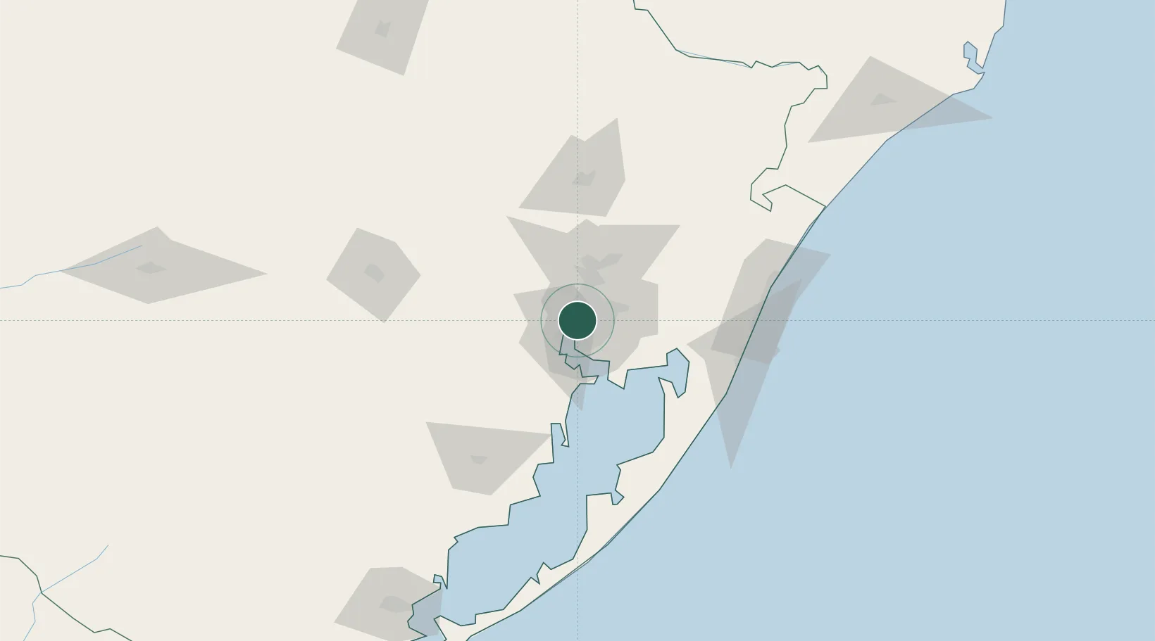
Porto Alegre
-30.0167°, -51.2167°
1,488,252
Population
3
Transport functions
Transport Functions
Port
Road
Airport
Hub Profile
Place type
Regional capital
Region
Rio Grande do Sul
Population
1,488,252
Time zone
America/Sao_Paulo
Elevation
46 m
Logistics facilities
1
Location
Nearby Logistics Neighbours
Cities
- 1Canoas12 km
- 2Guaíba12 km
- 3Esteio20 km
- 4Novo Hamburgo38 km
- 5Charqueadas39 km
Ports
- 1Tramandai104 km
- 2Pelotas224 km
- 3Rio Grande241 km
- 4Laguna290 km
- 5Imbituba317 km
Airports
Trade Zones
- 1ZPE de Rio Grande (RS)248 km
- 2ZPE de Imbituba (SC)373 km
- 3Rivera Free Zone428 km
- 4Zona Franca Puerto Iguazu Free Trade Zone591 km
- 5Zona Franca Internacional609 km
DatabookThe Record of Consolidated Knowledge
Brazil beyond logistics?