Transport Functions
Rail
Road
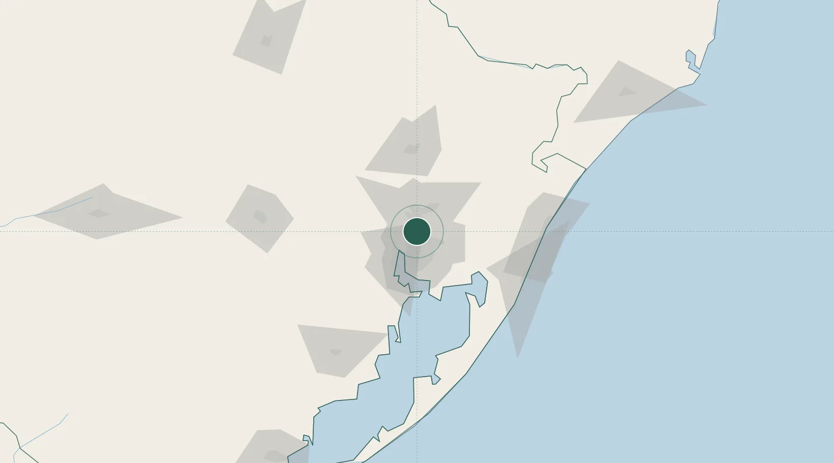
Hub Profile
Place type
Populated place
Region
Rio Grande do Sul
Population
76,137
Time zone
America/Sao_Paulo
Elevation
12 m
Location
Nearby Logistics Neighbours
Cities
- 1Canoas8 km
- 2Novo Hamburgo19 km
- 3Porto Alegre20 km
- 4Guaíba32 km
- 5Charqueadas48 km
Ports
- 1Porto Alegre23 km
- 2Tramandai98 km
- 3Pelotas244 km
- 4Rio Grande261 km
- 5Laguna273 km
Airports
Trade Zones
- 1ZPE de Rio Grande (RS)268 km
- 2ZPE de Imbituba (SC)354 km
- 3Rivera Free Zone441 km
- 4Zona Franca Puerto Iguazu Free Trade Zone581 km
- 5Zona Franca Internacional599 km
DatabookThe Record of Consolidated Knowledge
Brazil beyond logistics?