UN/LOCODE hub · Brazil
BRCAN

Canoas

-29.9167°, -51.1667°
328,291
Population
4
Transport functions

Transport Functions

Port
Rail
Road
Multimodal
UN/LOCODE

Hub Profile

Place type
Populated place
GeoNames
Region
Rio Grande do Sul
GeoNames
Population
328,291
GeoNames
Time zone
America/Sao_Paulo
GeoNames
Elevation
25 m
GeoNames

Location

Location of BRCAN
Natural Earth 10m (public domain) · Rio Grande do Sul · BRCAN · -29.92, -51.17GoogleOSMYandex

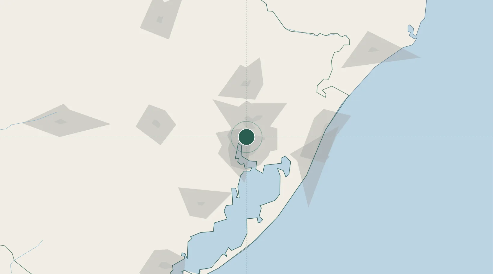
Nearby Logistics Neighbours

Cities
  1. 1Esteio8 km
  2. 2Porto Alegre12 km
  3. 3Guaíba24 km
  4. 4Novo Hamburgo26 km
  5. 5Charqueadas44 km
Nearest neighbours — logibook spatial index (haversine) over the source coordinates
Ports
  1. 1Porto Alegre15 km
  2. 2Tramandai100 km
  3. 3Pelotas236 km
  4. 4Rio Grande253 km
  5. 5Laguna280 km
Nearest neighbours — logibook spatial index (haversine) over the source coordinates
Airports
  1. 1Canoas Air Force Base4 km
  2. 2Porto Alegre-Salgado Filho International Airport9 km
  3. 3Canela Airport69 km
  4. 4Hugo Cantergiani Regional Airport80 km
  5. 5Forquilhinha - Criciúma Airport215 km
Nearest neighbours — logibook spatial index (haversine) over the source coordinates
Trade Zones
  1. 1ZPE de Rio Grande (RS)260 km
  2. 2ZPE de Imbituba (SC)361 km
  3. 3Rivera Free Zone436 km
  4. 4Zona Franca Puerto Iguazu Free Trade Zone585 km
  5. 5Zona Franca Internacional603 km
Nearest neighbours — logibook spatial index (haversine) over the source coordinates
DatabookThe Record of Consolidated Knowledge
Brazil beyond logistics?
Browse databook

All Sources

LocationsUN/LOCODE
UN/LOCODE — free
LocationsGeoNames
CC BY 4.0
Portsthe NGA World Port Index
Public domain (US gov)
AirportsOurAirports
Public domain
Trade Zonesthe World Bank SEZ database
CC BY 4.0
Trade ZonesOpen Zone Map
CC BY
← Brazil locations