Transport Functions
Port
Road
Hub Profile
Place type
Populated place
Region
Rio Grande do Sul
Population
35,012
Time zone
America/Sao_Paulo
Elevation
22 m
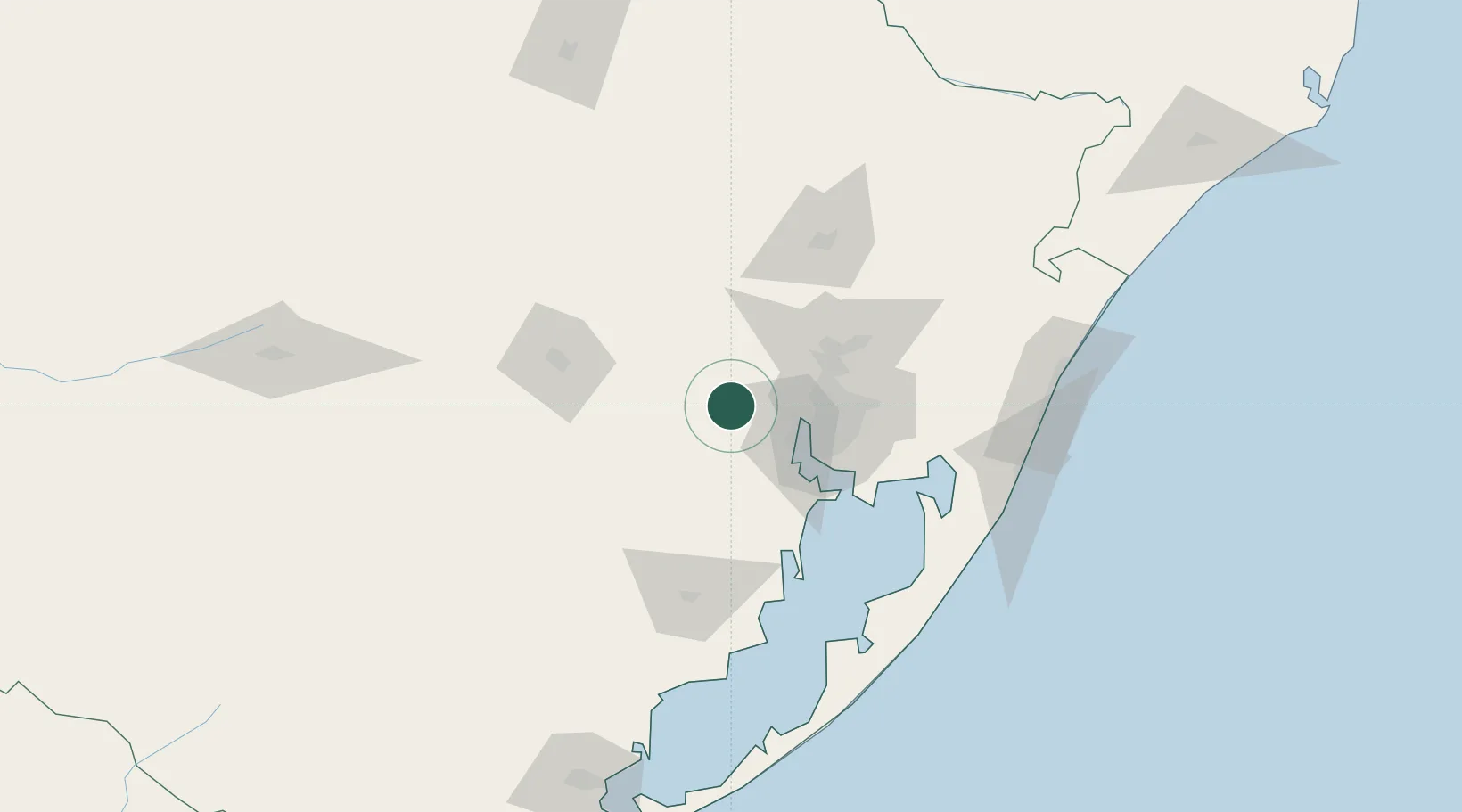
Location
Nearby Logistics Neighbours
Cities
- 1Triunfo8 km
- 2Taquari28 km
- 3Guaíba35 km
- 4Porto Alegre39 km
- 5Canoas44 km
Ports
- 1Porto Alegre38 km
- 2Tramandai143 km
- 3Pelotas215 km
- 4Rio Grande238 km
- 5Laguna319 km
Airports
Trade Zones
- 1ZPE de Rio Grande (RS)244 km
- 2Rivera Free Zone393 km
- 3ZPE de Imbituba (SC)396 km
- 4Zona Franca Puerto Iguazu Free Trade Zone564 km
- 5Zona Franca Internacional581 km
DatabookThe Record of Consolidated Knowledge
Brazil beyond logistics?