Medium airport · Brazil

Hugo Cantergiani Regional AirportSBCX
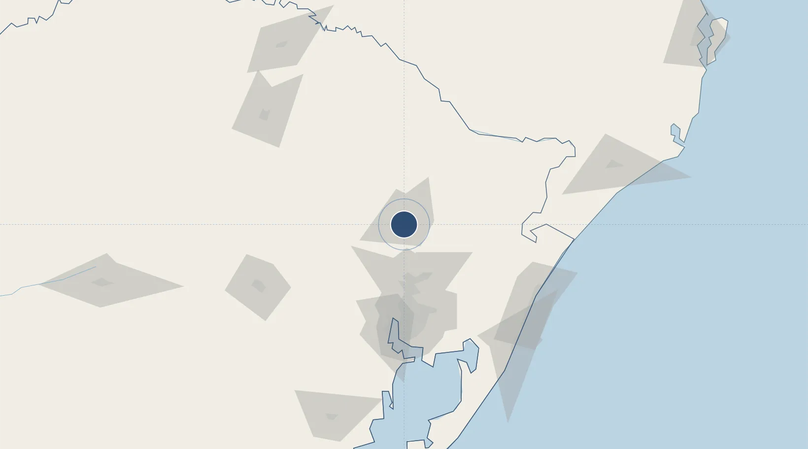
-29.1972°, -51.1876°
5,479 ft
Longest runway
1
Runways
2,472 ft
Elevation

Runway & Layout

Hugo Cantergiani Regional Airport runway & taxiway layout
Runway & taxiway layout — OpenStreetMap (ODbL) / OurAirports

Radio Frequencies

AFIS
131.6 MHz
CAXIAS RDO
OurAirports

Navaids

CXS VOR-DME Do Sul 112.30 MHz
CXS NDB Do Sul 169 kHz
OurAirports

Runways · 1

RunwayDimensions SurfaceTrue headingLit
15/33 5,479 × 98ft Asphalt 134°
OurAirports

Airport Specifications

IATA code
CXJ
OurAirports
ICAO code
SBCX
OurAirports
Airport class
Medium airport
OurAirports
Scheduled service
Yes
OurAirports
Runway surface
Asphalt
OurAirports
Served city
Caxias Do Sul
OurAirports

Location

Location of SBCX
Natural Earth 10m (public domain) · Rio Grande do Sul · SBCX · -29.20, -51.19GoogleOSMYandex

Nearby Logistics Neighbours

Airports
  1. 1Canela Airport40 km
  2. 2Canoas Air Force Base83 km
  3. 3Porto Alegre-Salgado Filho International Airport89 km
  4. 4Lauro Kurtz Airport154 km
  5. 5Forquilhinha - Criciúma Airport179 km
Nearest neighbours — logibook spatial index (haversine) over the source coordinates
Cities
  1. 1Caxias do Sul4 km
  2. 2Novo Hamburgo55 km
  3. 3Esteio73 km
  4. 4Canoas80 km
  5. 5Estrela83 km
Nearest neighbours — logibook spatial index (haversine) over the source coordinates
Ports
  1. 1Porto Alegre93 km
  2. 2Tramandai134 km
  3. 3Laguna247 km
  4. 4Imbituba268 km
  5. 5Pelotas308 km
Nearest neighbours — logibook spatial index (haversine) over the source coordinates
Trade Zones
  1. 1ZPE de Imbituba (SC)312 km
  2. 2ZPE de Rio Grande (RS)335 km
  3. 3Rivera Free Zone463 km
  4. 4Zona Franca Puerto Iguazu Free Trade Zone521 km
  5. 5Zona Franca Internacional539 km
Nearest neighbours — logibook spatial index (haversine) over the source coordinates
DatabookThe Record of Consolidated Knowledge
Brazil beyond logistics?
Browse databook

All Sources

AirportsOurAirports
Public domain
Portsthe NGA World Port Index
Public domain (US gov)
LocationsUN/LOCODE
UN/LOCODE — free
Trade Zonesthe World Bank SEZ database
CC BY 4.0
Trade ZonesOpen Zone Map
CC BY
InfrastructureOpenStreetMap
ODbL 1.0
← Brazil airports