Small airport · Brazil
Canela AirportSSCN
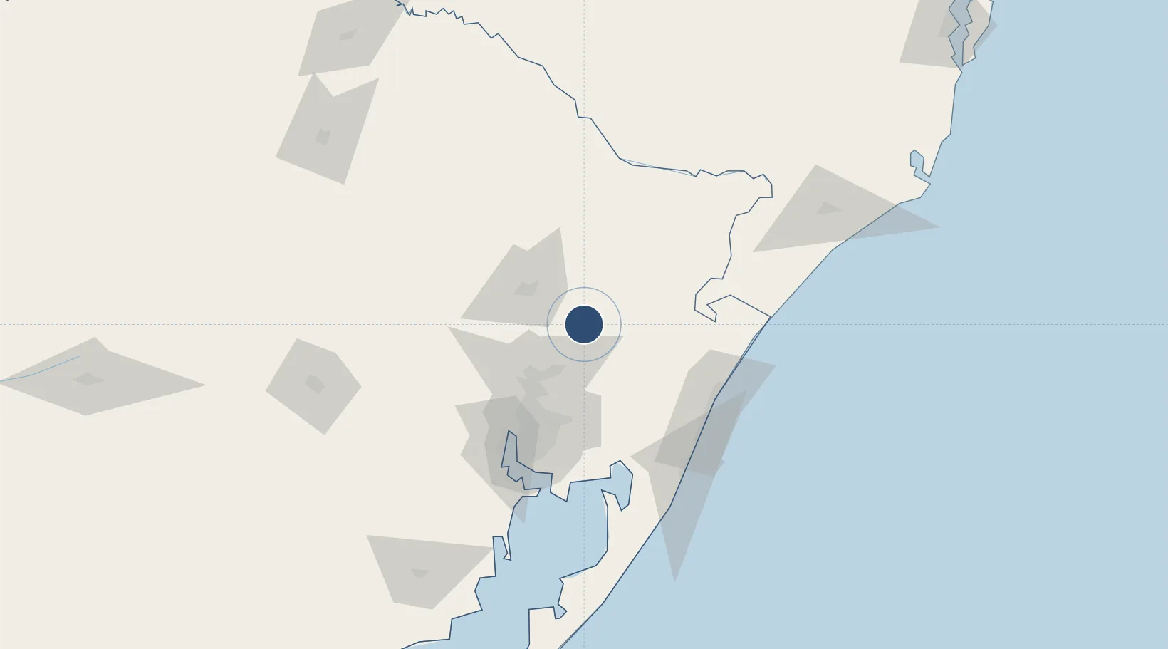
-29.3701°, -50.8317°
4,134 ft
Longest runway
1
Runways
2,746 ft
Elevation
Runway & Layout

Runways · 1
| Runway | Dimensions | Surface | True heading | Lit |
|---|---|---|---|---|
| 06/24 | 4,134 × 59ft | Asphalt | — | — |
Airport Specifications
IATA code
CEL
ICAO code
SSCN
Airport class
Small airport
Scheduled service
Yes
Runway surface
Asphalt
Served city
Canela
Location
Nearby Logistics Neighbours
Airports
Cities
- 1Caxias do Sul40 km
- 2Novo Hamburgo44 km
- 3Esteio61 km
- 4Canoas69 km
- 5Porto Alegre81 km
Ports
- 1Porto Alegre83 km
- 2Tramandai96 km
- 3Laguna222 km
- 4Imbituba246 km
- 5Pelotas304 km
Trade Zones
- 1ZPE de Imbituba (SC)296 km
- 2ZPE de Rio Grande (RS)328 km
- 3Rivera Free Zone487 km
- 4Zona Franca Puerto Iguazu Free Trade Zone558 km
- 5Zona Franca Internacional576 km
DatabookThe Record of Consolidated Knowledge
Brazil beyond logistics?