Transport Functions
Port
Multimodal
Hub Profile
Place type
Urban district
Region
Queensland
Population
15,965
Time zone
Australia/Brisbane
Elevation
9 m
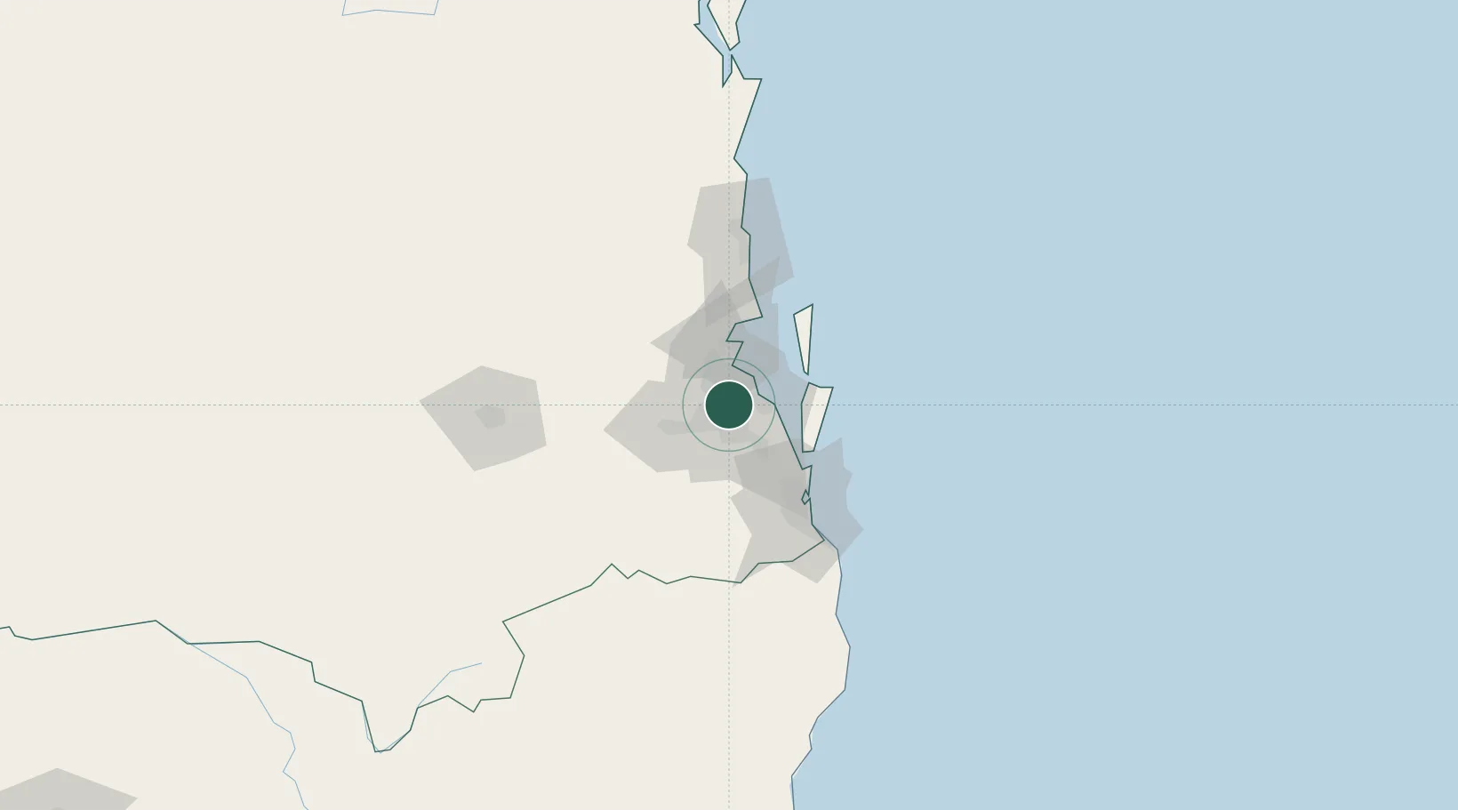
Location
Nearby Logistics Neighbours
Cities
- 1Carina Heights3 km
- 2Mount Gravatt5 km
- 3Cannon Hill5 km
- 4South Brisbane5 km
- 5Murarrie6 km
Airports
- 1Brisbane International Airport15 km
- 2RAAF Base Amberley37 km
- 3Gold Coast Airport87 km
- 4Sunshine Coast Airport101 km
- 5Toowoomba Wellcamp Airport124 km
Trade Zones
DatabookThe Record of Consolidated Knowledge
Australia beyond logistics?