UN/LOCODE hub · Australia
AUCAH

Cannon Hill

-27.4667°, 153.0833°
5,481
Population
2
Transport functions

Transport Functions

Rail
Road
UN/LOCODE

Hub Profile

Place type
Urban district
GeoNames
Region
Queensland
GeoNames
Population
5,481
GeoNames
Time zone
Australia/Brisbane
GeoNames
Elevation
17 m
GeoNames

Location

Location of AUCAH
Natural Earth 10m (public domain) · Queensland · AUCAH · -27.47, 153.08GoogleOSMYandex

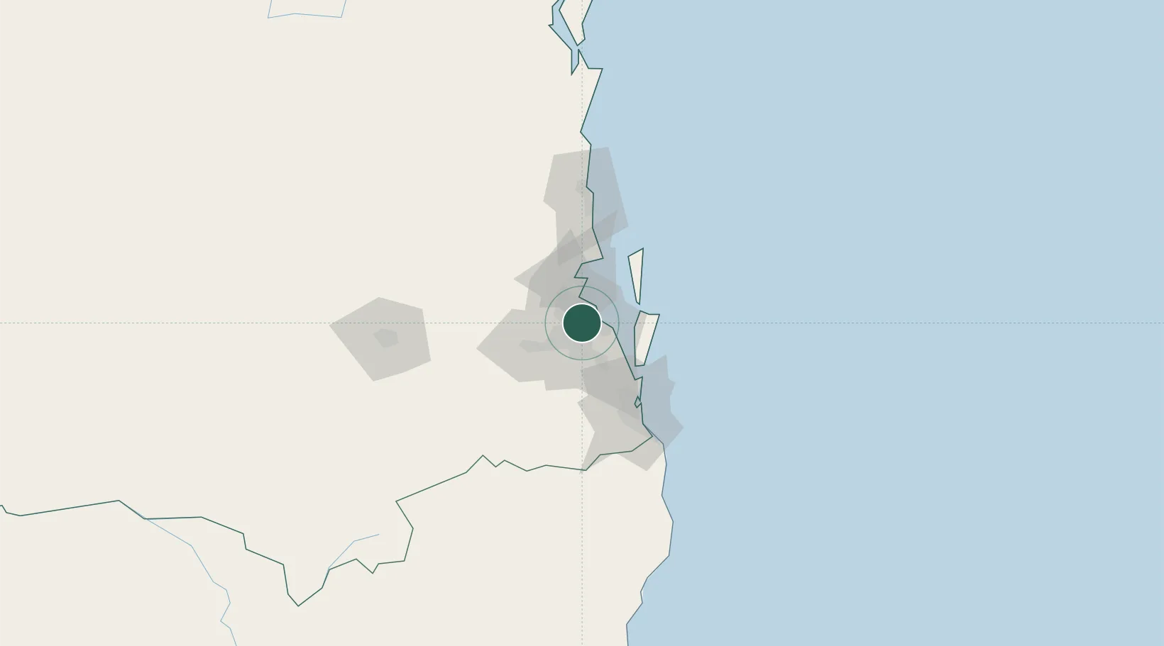
Nearby Logistics Neighbours

Cities
  1. 1Murarrie2 km
  2. 2Carina Heights4 km
  3. 3Coorparoo5 km
  4. 4Hemmant5 km
  5. 5Bowen Hills6 km
Nearest neighbours — logibook spatial index (haversine) over the source coordinates
Ports
  1. 1Brisbane5 km
  2. 2Ballina163 km
  3. 3Bundaberg298 km
  4. 4Gladstone442 km
  5. 5Port Alma487 km
Nearest neighbours — logibook spatial index (haversine) over the source coordinates
Airports
  1. 1Brisbane International Airport10 km
  2. 2RAAF Base Amberley41 km
  3. 3Gold Coast Airport88 km
  4. 4Sunshine Coast Airport97 km
  5. 5Toowoomba Wellcamp Airport128 km
Nearest neighbours — logibook spatial index (haversine) over the source coordinates
Trade Zones
  1. 1Latrobe Valley Economic Growth Zone1350 km
  2. 2Vanuatu Economic Development Zone1970 km
  3. 3Paga Hill Estate Special Economic Zone2095 km
  4. 4Tulagi Island Special Economic Zone2172 km
  5. 5Ihu Special Economic Zone2322 km
Nearest neighbours — logibook spatial index (haversine) over the source coordinates
DatabookThe Record of Consolidated Knowledge
Australia beyond logistics?
Browse databook

All Sources

LocationsUN/LOCODE
UN/LOCODE — free
LocationsGeoNames
CC BY 4.0
Portsthe NGA World Port Index
Public domain (US gov)
AirportsOurAirports
Public domain
Trade Zonesthe World Bank SEZ database
CC BY 4.0
Trade ZonesOpen Zone Map
CC BY
← Australia locations