UN/LOCODE hub · Australia
AUTWQ

Toowong

-27.4833°, 152.9833°
10,780
Population
1
Transport functions

Transport Functions

Multimodal
UN/LOCODE

Hub Profile

Place type
Urban district
GeoNames
Region
Queensland
GeoNames
Population
10,780
GeoNames
Time zone
Australia/Brisbane
GeoNames
Elevation
41 m
GeoNames

Location

Location of AUTWQ
Natural Earth 10m (public domain) · Queensland · AUTWQ · -27.48, 152.98GoogleOSMYandex

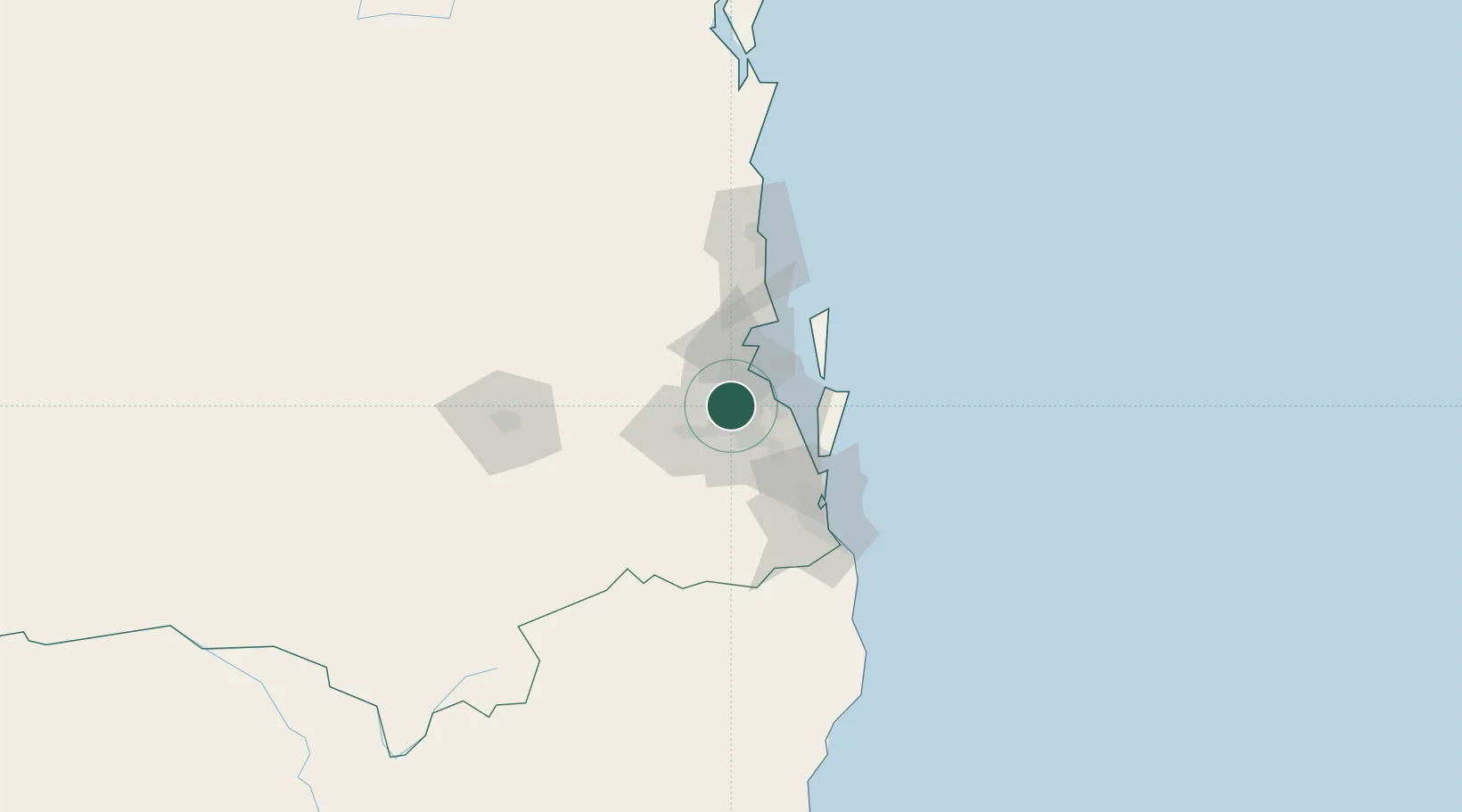
Nearby Logistics Neighbours

Cities
  1. 1South Brisbane4 km
  2. 2Fig Tree Pocket5 km
  3. 3Kenmore6 km
  4. 4Coorparoo7 km
  5. 5Bowen Hills7 km
Nearest neighbours — logibook spatial index (haversine) over the source coordinates
Ports
  1. 1Brisbane5 km
  2. 2Ballina164 km
  3. 3Bundaberg298 km
  4. 4Gladstone440 km
  5. 5Port Alma484 km
Nearest neighbours — logibook spatial index (haversine) over the source coordinates
Airports
  1. 1Brisbane International Airport17 km
  2. 2RAAF Base Amberley32 km
  3. 3Gold Coast Airport92 km
  4. 4Sunshine Coast Airport100 km
  5. 5Toowoomba Wellcamp Airport118 km
Nearest neighbours — logibook spatial index (haversine) over the source coordinates
Trade Zones
  1. 1Latrobe Valley Economic Growth Zone1344 km
  2. 2Vanuatu Economic Development Zone1978 km
  3. 3Paga Hill Estate Special Economic Zone2093 km
  4. 4Tulagi Island Special Economic Zone2178 km
  5. 5Ihu Special Economic Zone2320 km
Nearest neighbours — logibook spatial index (haversine) over the source coordinates
DatabookThe Record of Consolidated Knowledge
Australia beyond logistics?
Browse databook

All Sources

LocationsUN/LOCODE
UN/LOCODE — free
LocationsGeoNames
CC BY 4.0
Portsthe NGA World Port Index
Public domain (US gov)
AirportsOurAirports
Public domain
Trade Zonesthe World Bank SEZ database
CC BY 4.0
Trade ZonesOpen Zone Map
CC BY
← Australia locations