Transport Functions
Multimodal
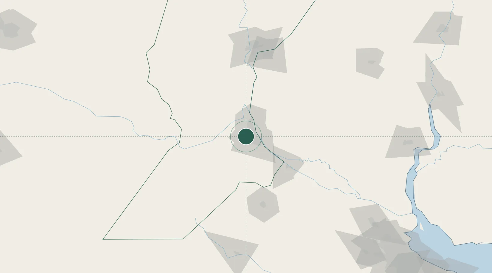
Hub Profile
Place type
Populated place
Region
Santa Fe
Population
14,750
Time zone
America/Argentina/Cordoba
Elevation
36 m
Location
Nearby Logistics Neighbours
Cities
- 1Soldini14 km
- 2Capitan Bermudez15 km
- 3Rosario16 km
- 4Fray Luis A. Beltrán17 km
- 5San Martin24 km
Ports
- 1Rosario18 km
- 2San Lorenzo20 km
- 3Puerto San Martin24 km
- 4Villa Constitucion57 km
- 5San Nicolas71 km
Airports
Trade Zones
- 1Zona Franca UPM240 km
- 2UPM Fray Bentos Free Zone240 km
- 3Nueva Palmira Free Zone248 km
- 4Zona Sur Buenos Aires287 km
- 5Montes de Plata Free Zone295 km
DatabookThe Record of Consolidated Knowledge
Argentina beyond logistics?