UN/LOCODE hub · Argentina
ARROS
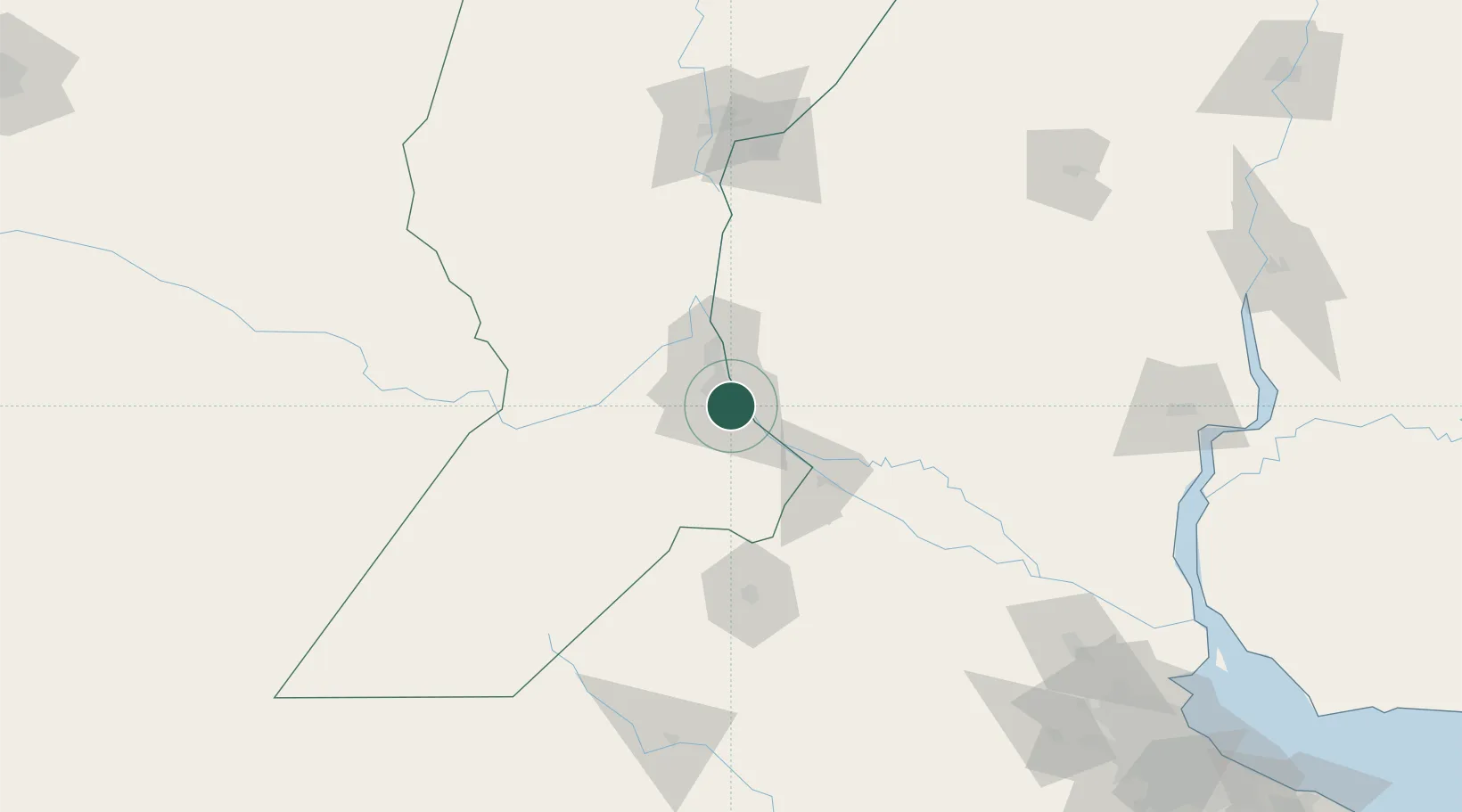
Rosario
-32.9846°, -60.6671°
948,312
Population
5
Transport functions
1
Container terminals
Transport Functions
Port
Rail
Road
Airport
Postal
Hub Profile
Place type
Provincial seat
Region
Santa Fe
Population
948,312
Time zone
America/Argentina/Cordoba
Elevation
38 m
Logistics facilities
5
Container terminals
1
Location
Nearby Logistics Neighbours
Cities
- 1Soldini9 km
- 2Funes16 km
- 3Capitan Bermudez19 km
- 4Fray Luis A. Beltrán23 km
- 5Arroyo Seco27 km
Ports
- 1San Lorenzo27 km
- 2Puerto San Martin30 km
- 3Villa Constitucion42 km
- 4San Nicolas56 km
- 5Ramallo82 km
Airports
Trade Zones
- 1Zona Franca UPM225 km
- 2UPM Fray Bentos Free Zone225 km
- 3Nueva Palmira Free Zone232 km
- 4Zona Sur Buenos Aires272 km
- 5Montes de Plata Free Zone279 km
DatabookThe Record of Consolidated Knowledge
Argentina beyond logistics?