Transport Functions
Port
Hub Profile
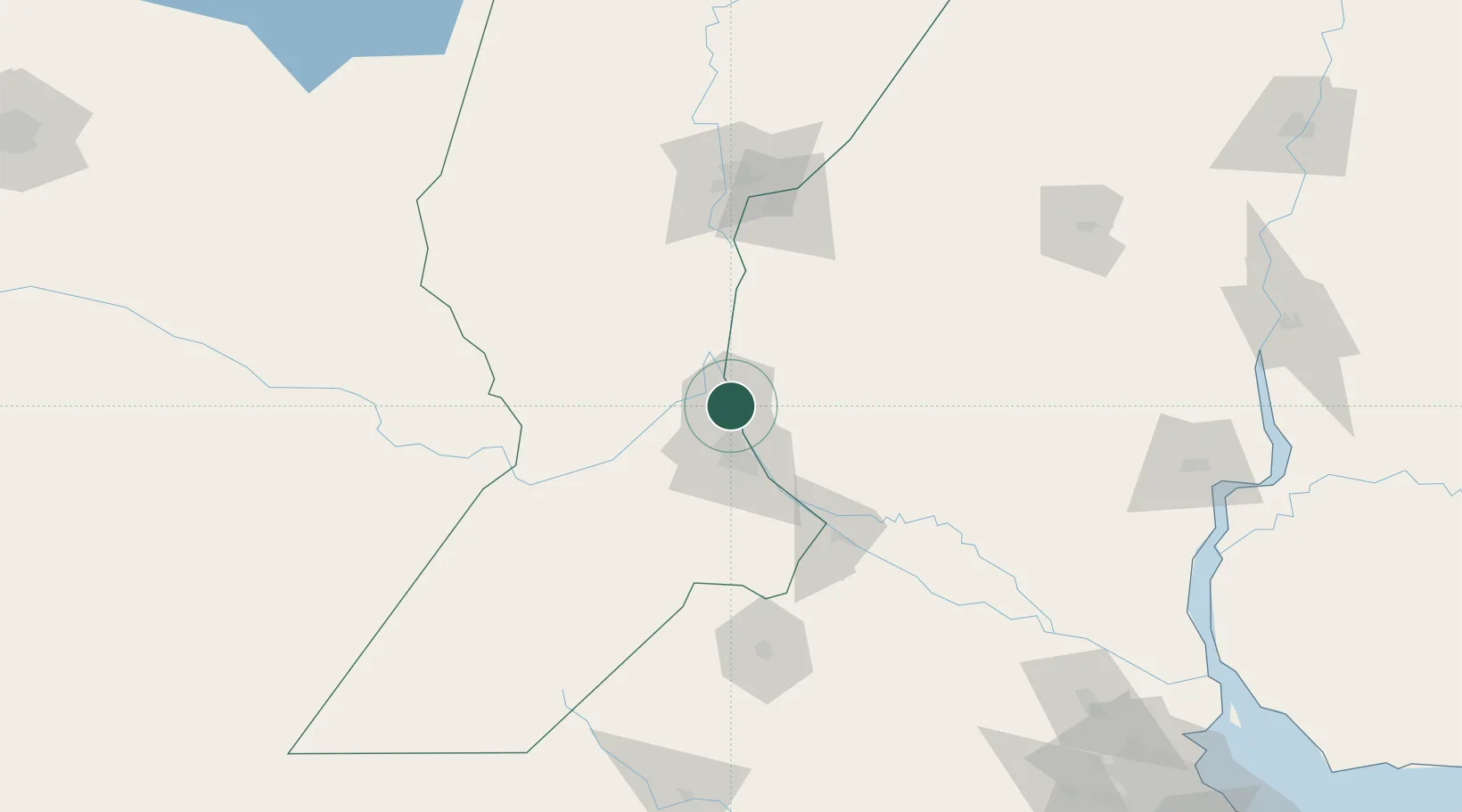
Place type
Populated place
Region
Corrientes
Time zone
America/Argentina/Cordoba
Elevation
38 m
Location
Nearby Logistics Neighbours
Cities
- 1Fray Luis A. Beltrán7 km
- 2Resinfor7 km
- 3Quebracho/San Lorenzo8 km
- 4Puerto Alumbrera8 km
- 5Timbúes10 km
Ports
- 1San Lorenzo4 km
- 2Rosario28 km
- 3Villa Constitucion69 km
- 4Diamante73 km
- 5San Nicolas83 km
Airports
Trade Zones
- 1Zona Franca UPM236 km
- 2UPM Fray Bentos Free Zone236 km
- 3Nueva Palmira Free Zone252 km
- 4Zona Sur Buenos Aires297 km
- 5Montes de Plata Free Zone300 km
DatabookThe Record of Consolidated Knowledge
Argentina beyond logistics?