Transport Functions
Multimodal
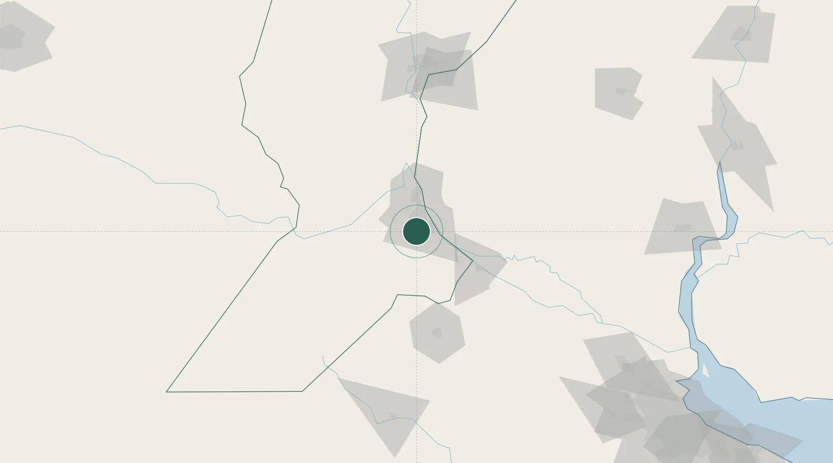
Hub Profile
Place type
Populated place
Region
Santa Fe
Time zone
America/Argentina/Cordoba
Elevation
41 m
Location
Nearby Logistics Neighbours
Cities
- 1Rosario9 km
- 2Funes14 km
- 3Capitan Bermudez24 km
- 4Fray Luis A. Beltrán28 km
- 5Arroyo Seco32 km
Ports
- 1Rosario14 km
- 2San Lorenzo32 km
- 3Puerto San Martin35 km
- 4Villa Constitucion45 km
- 5San Nicolas59 km
Airports
Trade Zones
- 1Zona Franca UPM233 km
- 2UPM Fray Bentos Free Zone233 km
- 3Nueva Palmira Free Zone236 km
- 4Zona Sur Buenos Aires274 km
- 5Montes de Plata Free Zone283 km
DatabookThe Record of Consolidated Knowledge
Argentina beyond logistics?