UN/LOCODE hub · Argentina
ARFLB

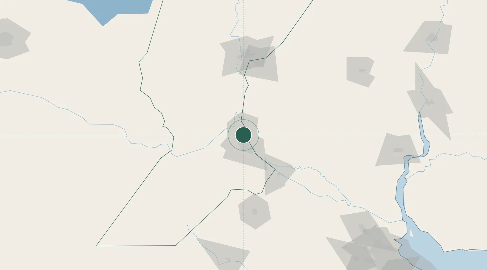
Fray Luis A. Beltrán

-32.7833°, -60.7333°
14,390
Population
1
Transport functions

Transport Functions

Multimodal
UN/LOCODE

Hub Profile

Place type
Populated place
GeoNames
Region
Santa Fe
GeoNames
Population
14,390
GeoNames
Time zone
America/Argentina/Cordoba
GeoNames
Elevation
30 m
GeoNames

Location

Location of ARFLB
Natural Earth 10m (public domain) · Santa Fe · ARFLB · -32.78, -60.73GoogleOSMYandex

Nearby Logistics Neighbours

Cities
  1. 1Capitan Bermudez4 km
  2. 2San Martin7 km
  3. 3Resinfor15 km
  4. 4Quebracho/San Lorenzo15 km
  5. 5Puerto Alumbrera15 km
Nearest neighbours — logibook spatial index (haversine) over the source coordinates
Ports
  1. 1San Lorenzo4 km
  2. 2Puerto San Martin7 km
  3. 3Rosario21 km
  4. 4Villa Constitucion62 km
  5. 5San Nicolas77 km
Nearest neighbours — logibook spatial index (haversine) over the source coordinates
Airports
  1. 1Rosario Islas Malvinas International Airport14 km
  2. 2General Urquiza Airport113 km
  3. 3Sauce Viejo Airport119 km
  4. 4(Duplicate)Aeropuerto Pergamino125 km
  5. 5Gualeguaychu Airport200 km
Nearest neighbours — logibook spatial index (haversine) over the source coordinates
Trade Zones
  1. 1Zona Franca UPM234 km
  2. 2UPM Fray Bentos Free Zone234 km
  3. 3Nueva Palmira Free Zone248 km
  4. 4Zona Sur Buenos Aires292 km
  5. 5Montes de Plata Free Zone296 km
Nearest neighbours — logibook spatial index (haversine) over the source coordinates
DatabookThe Record of Consolidated Knowledge
Argentina beyond logistics?
Browse databook

All Sources

LocationsUN/LOCODE
UN/LOCODE — free
LocationsGeoNames
CC BY 4.0
Portsthe NGA World Port Index
Public domain (US gov)
AirportsOurAirports
Public domain
Trade Zonesthe World Bank SEZ database
CC BY 4.0
Trade ZonesOpen Zone Map
CC BY
← Argentina locations