Transport Functions
Multimodal
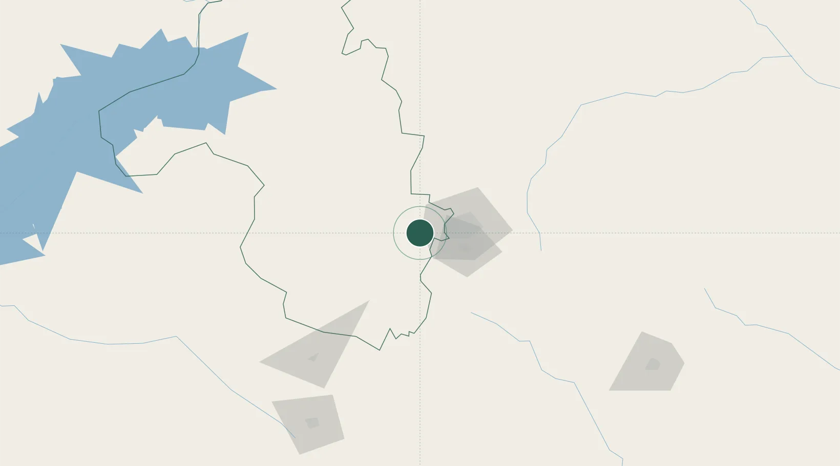
Hub Profile
Place type
Populated place
Region
Mashonaland West
Population
87,039
Time zone
Africa/Harare
Elevation
1,364 m
Location
Nearby Logistics Neighbours
Cities
- 1Marlborough57 km
- 2Chegutu65 km
- 3Rusape166 km
- 4Mutoko170 km
- 5Gokwe190 km
Ports
- 1Beira486 km
- 2Chinde617 km
- 3Quelimane654 km
- 4Porto Belo687 km
- 5Pebane793 km
Airports
- 1Robert Gabriel Mugabe International Airport42 km
- 2Mutoko Airport165 km
- 3Josiah Tungamirai Air Force Base194 km
- 4Masvingo International Airport242 km
- 5Kariba Airport245 km
DatabookThe Record of Consolidated Knowledge
Zimbabwe beyond logistics?