UN/LOCODE hub · South Africa
ZAZFB

Tulisa Park

-26.2500°, 28.0500°
1
Transport functions

Transport Functions

Multimodal
UN/LOCODE

Hub Profile

Region
GT
GeoNames

Location

Location of ZAZFB
Natural Earth 10m (public domain) · GT · ZAZFB · -26.25, 28.05GoogleOSMYandex

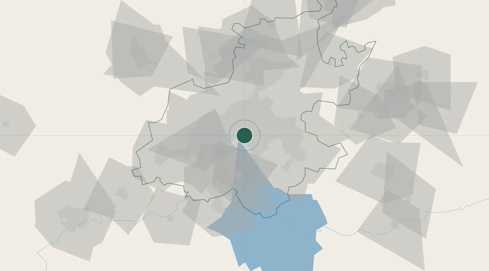
Nearby Logistics Neighbours

Cities
  1. 1Rosettenville0 km
  2. 2Turffontein0 km
  3. 3Kaserne4 km
  4. 4New Centre6 km
  5. 5Ophirton6 km
Nearest neighbours — logibook spatial index (haversine) over the source coordinates
Ports
  1. 1Maputo450 km
  2. 2Richards Bay490 km
  3. 3Durban499 km
  4. 4East London754 km
  5. 5Inhambane784 km
Nearest neighbours — logibook spatial index (haversine) over the source coordinates
Airports
  1. 1Rand Airport10 km
  2. 2O.R. Tambo International Airport23 km
  3. 3Grand Central Airport31 km
  4. 4Vereeniging Airport36 km
  5. 5Lanseria International Airport37 km
Nearest neighbours — logibook spatial index (haversine) over the source coordinates
Trade Zones
  1. 1OR Tambo Industrial Development Zone25 km
  2. 2Vaal Special Economic Zone55 km
  3. 3Tshwane Automotive Industrial Zone64 km
  4. 4Babelegi Industrial Park102 km
  5. 5Bojanala (Platinum Valley) Special Economic Zone134 km
Nearest neighbours — logibook spatial index (haversine) over the source coordinates
DatabookThe Record of Consolidated Knowledge
South Africa beyond logistics?
Browse databook

All Sources

LocationsUN/LOCODE
UN/LOCODE — free
Portsthe NGA World Port Index
Public domain (US gov)
AirportsOurAirports
Public domain
Trade Zonesthe World Bank SEZ database
CC BY 4.0
Trade ZonesOpen Zone Map
CC BY
← South Africa locations